UN/LOCODE hub · United States
USFLZ
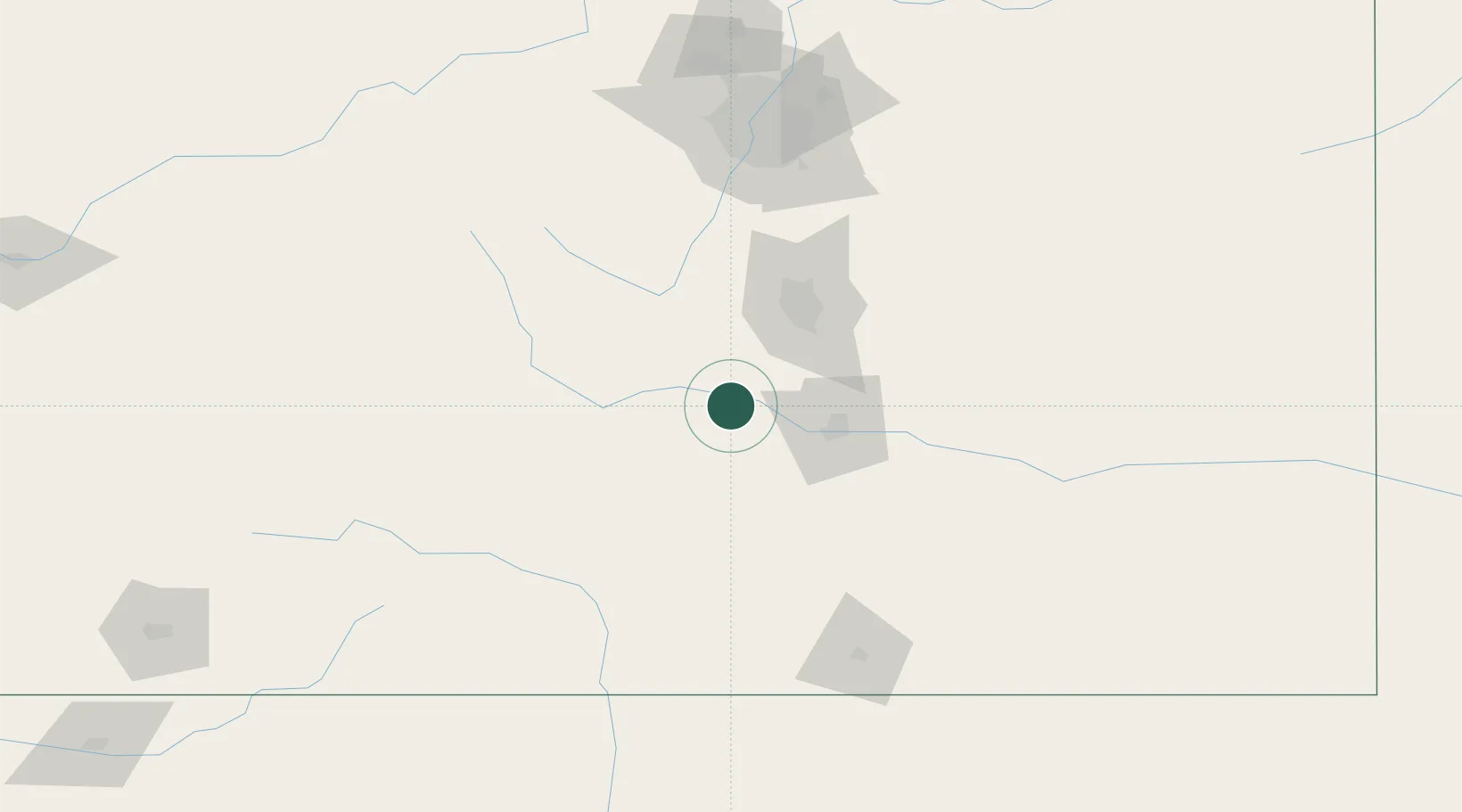
Florence
38.3833°, -105.1333°
3,865
Population
4
Transport functions
Transport Functions
Port
Rail
Road
Multimodal
Hub Profile
Place type
Populated place
Region
Colorado
Population
3,865
Time zone
America/Denver
Elevation
1,579 m
Location
Nearby Logistics Neighbours
Cities
- 1Victor37 km
- 2Cripple Creek39 km
- 3Hillside43 km
- 4Fountain50 km
- 5Security55 km
Ports
- 1San Diego1258 km
- 2Newport Beach1263 km
- 3Ensenada1271 km
- 4Rosarito1273 km
- 5Guaymas1282 km
Airports
Trade Zones
- 1FTZ No. 112 Colorado Springs57 km
- 2FTZ No. 298 Jefferson County151 km
- 3FTZ No. 123 Denver152 km
- 4FTZ No. 293 Limon159 km
- 5FTZ No. 110 Albuquerque397 km
DatabookThe Record of Consolidated Knowledge
United States beyond logistics?