Seaport · Mexico
GuaymasMXGYM
27.9167°, -110.9167°
7.9 m
Channel depth
1
Container terminals
9.7
Port liner connectivity
Channel & Berth Profile
Pilotage, Tugs & Services
Pilotage compulsoryYES
Pilotage availableYES
Tug assistanceYES
Shore powerYES
Potable waterYES
Diesel bunkersYES
MedicalYES
Garbage disposalYES
Facilities & Capabilities
Container—
Ro-Ro—
Liquid bulk—
Dry bulk—
Oil terminal—
Break bulk—
Dry dock—
RepairsNO
BunkeringYES
Rail linkYES
Dangerous cargo—
ISPS security—
Harbour Specifications
Harbour size
Small
Harbour type
Coastal (Breakwater)
Shelter
Good
Water body
Gulf of California; North Pacific Ocean
Tidal range
3 m
Pilotage
Yes
Liner Connectivity
9.7
PLSCI
Port Liner Shipping Connectivity Index for Guaymas, as published by UNCTAD for the latest available quarter. Higher values indicate stronger scheduled liner-shipping integration.
Shown relative to the highest per-port PLSCI in the dataset (1,657.9).
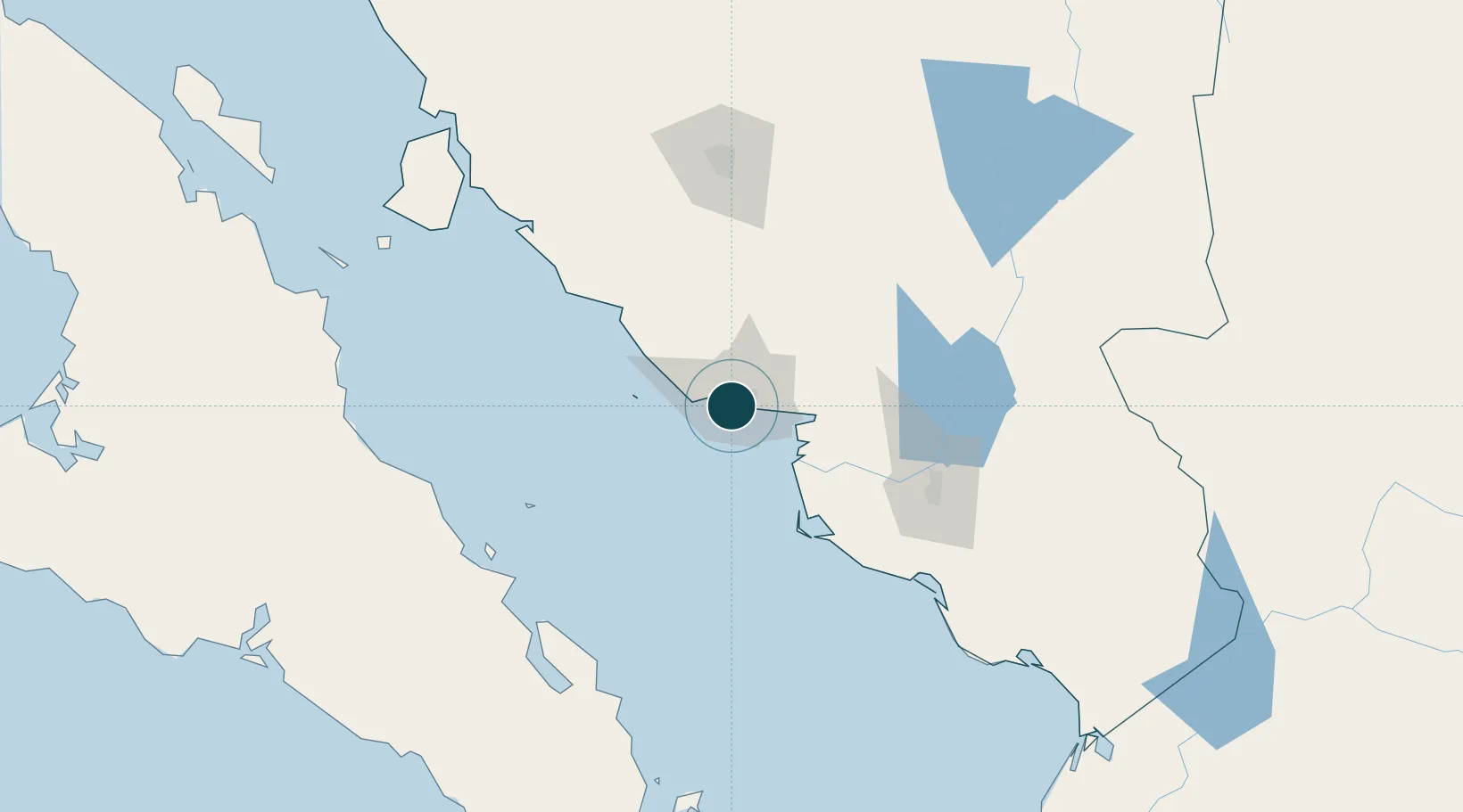
Location
Container Terminals · 1
TPP TERMINAL GUAYMAS
TGUA TPP TRANSFERENCIAS PORTUARIAS DEL PACIFICO SA DE CV
Nearby Logistics Neighbours
Ports
- 1Isla San Marcos142 km
- 2Santa Rosalia150 km
- 3Topolobampo316 km
- 4San Juan De La Costa392 km
- 5Pichilingue410 km
Cities
- 1Empalme11 km
- 2Isla San Marcos140 km
- 3Santa Ana255 km
- 4Loreto270 km
- 5Arizpe278 km
Airports
Trade Zones
- 1FTZ No. 060 Nogales382 km
- 2FTZ No. 139 Sierra Vista409 km
- 3FTZ No. 174 Pima County486 km
- 4FTZ No. 197 Dona Ana County605 km
- 5FTZ No. 068 El Paso617 km
DatabookThe Record of Consolidated Knowledge
Mexico beyond logistics?