Transport Functions
Port
Multimodal
Hub Profile
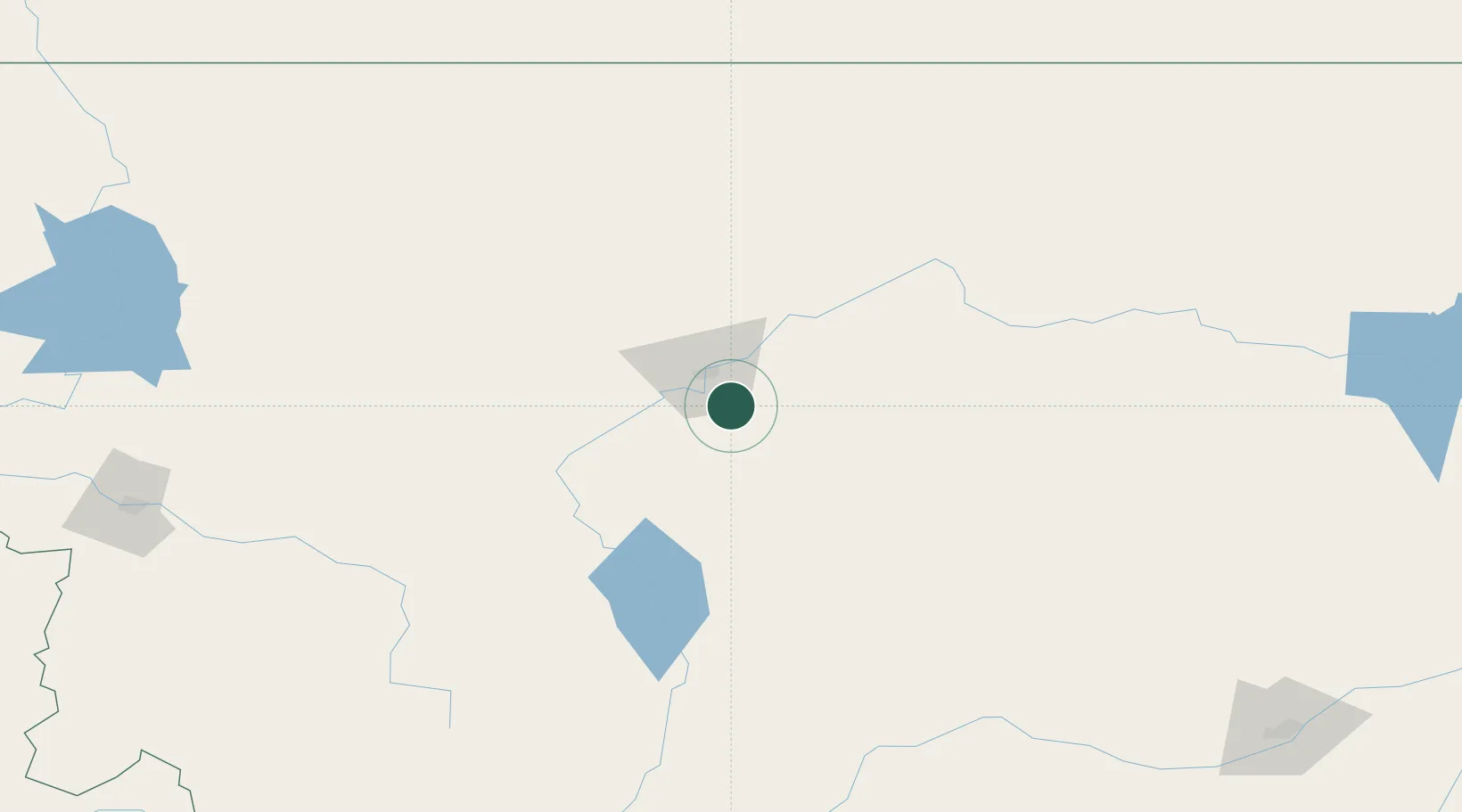
Place type
Populated place
Region
Montana
Population
169
Time zone
America/Denver
Elevation
1,098 m
Location
Nearby Logistics Neighbours
Cities
- 1Cascade40 km
- 2Fort Benton63 km
- 3Montana City108 km
- 4Clancy116 km
- 5Big Sandy121 km
Ports
- 1The Dalles791 km
- 2Everett830 km
- 3Mukilteo836 km
- 4Seattle839 km
- 5Point Wells843 km
Airports
Trade Zones
- 1FTZ No. 088 Great Falls27 km
- 2FTZ No. 187 Toole County163 km
- 3FTZ No. 275 Lansing182 km
- 4FTZ No. 274 Butte-Silver Bow209 km
- 5FTZ No. 242 Boundary County448 km
DatabookThe Record of Consolidated Knowledge
United States beyond logistics?