Medium airport · United States
Helena Regional AirportKHLN
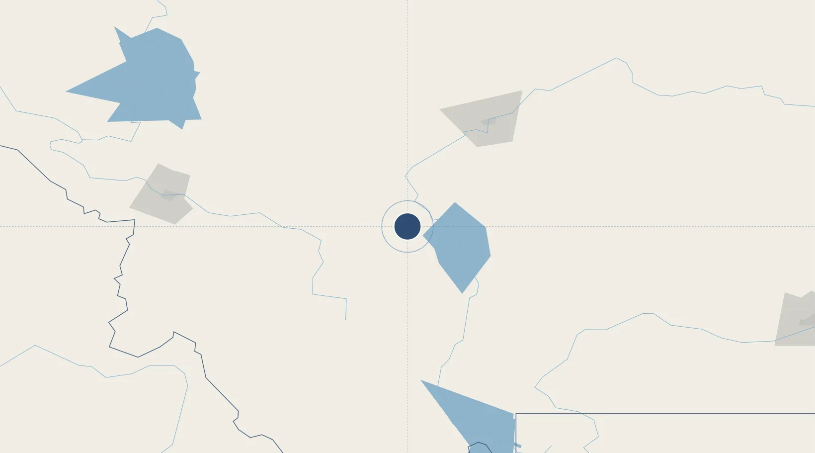
46.6068°, -111.9830°
9,000 ft
Longest runway
3
Runways
3,877 ft
Elevation
Runway & Layout

Radio Frequencies
ATIS
120.4 MHz
TWR
118.3 MHz
GND
121.9 MHz
CTAF
118.3 MHz
A/D
119.5 MHz
APP/DEP
OPS
40.65 MHz
ARNG OPS
RDO
122.55 MHz
GREAT FALLS RDO
UNIC
122.95 MHz
UNICOM
Navaids
CVP NDB Capitol 335 kHz
HAU NDB Hauser 386 kHz
HLN VORTAC Helena 117.70 MHz
Runways · 3
| Runway | Dimensions | Surface | True heading | Lit |
|---|---|---|---|---|
| 09/27 | 9,000 × 150ft | Asphalt | 103° | ✓ |
| 05/23 | 4,644 × 75ft | Asphalt | 066° | ✓ |
| 16/34 | 2,989 × 75ft | Asphalt | 179° | ✓ |
Airport Specifications
IATA code
HLN
ICAO code
KHLN
Airport class
Medium airport
Scheduled service
Yes
Runway surface
Asphalt
Served city
Helena
Location
Nearby Logistics Neighbours
Airports
- 1Bert Mooney Airport83 km
- 2Great Falls International Airport108 km
- 3Bozeman Yellowstone International Airport112 km
- 4Mission Field155 km
- 5Missoula Montana Airport164 km
Cities
- 1Montana City9 km
- 2Clancy16 km
- 3Cascade77 km
- 4Three Forks Junction86 km
- 5Stockett103 km
Ports
- 1The Dalles718 km
- 2Everett786 km
- 3Seattle791 km
- 4Mukilteo792 km
- 5Tacoma795 km
Trade Zones
- 1FTZ No. 275 Lansing79 km
- 2FTZ No. 274 Butte-Silver Bow106 km
- 3FTZ No. 088 Great Falls108 km
- 4FTZ No. 187 Toole County224 km
- 5FTZ No. 224 Spokane432 km
DatabookThe Record of Consolidated Knowledge
United States beyond logistics?