Transport Functions
Rail
Road
Hub Profile
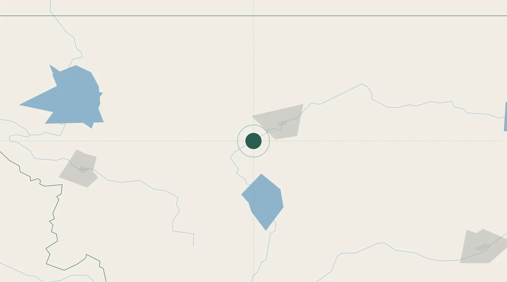
Place type
Populated place
Region
Montana
Population
696
Time zone
America/Denver
Elevation
1,033 m
Location
Nearby Logistics Neighbours
Cities
- 1Stockett40 km
- 2Montana City84 km
- 3Clancy92 km
- 4Fort Benton97 km
- 5Glen148 km
Ports
- 1The Dalles751 km
- 2Everett793 km
- 3Mukilteo799 km
- 4Seattle801 km
- 5Point Wells806 km
Airports
- 1Great Falls International Airport34 km
- 2Helena Regional Airport77 km
- 3Cut Bank International Airport158 km
- 4Bert Mooney Airport159 km
- 5Lewistown Municipal Airport169 km
Trade Zones
- 1FTZ No. 088 Great Falls32 km
- 2FTZ No. 275 Lansing154 km
- 3FTZ No. 187 Toole County156 km
- 4FTZ No. 274 Butte-Silver Bow178 km
- 5FTZ No. 242 Boundary County416 km
DatabookThe Record of Consolidated Knowledge
United States beyond logistics?