UN/LOCODE hub · United States
USBSM

Big Sandy

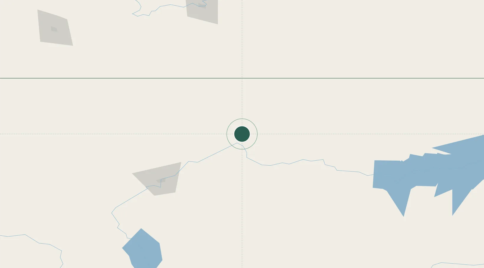
48.1833°, -110.1167°
593
Population
2
Transport functions

Transport Functions

Port
Road
UN/LOCODE

Hub Profile

Place type
Populated place
GeoNames
Region
Montana
GeoNames
Population
593
GeoNames
Time zone
America/Denver
GeoNames
Elevation
823 m
GeoNames

Location

Location of USBSM
Natural Earth 10m (public domain) · Montana · USBSM · 48.18, -110.12GoogleOSMYandex

Nearby Logistics Neighbours

Cities
  1. 1Kremlin43 km
  2. 2Fort Benton59 km
  3. 3Hilger119 km
  4. 4Stockett121 km
  5. 5Cascade155 km
Nearest neighbours — logibook spatial index (haversine) over the source coordinates
Ports
  1. 1The Dalles888 km
  2. 2Mission City897 km
  3. 3Everett898 km
  4. 4Mukilteo905 km
  5. 5Seattle912 km
Nearest neighbours — logibook spatial index (haversine) over the source coordinates
Airports
  1. 1Havre City County Airport48 km
  2. 2Great Falls International Airport122 km
  3. 3Lewistown Municipal Airport135 km
  4. 4Cut Bank International Airport174 km
  5. 5Medicine Hat Regional Airport209 km
Nearest neighbours — logibook spatial index (haversine) over the source coordinates
Trade Zones
  1. 1FTZ No. 088 Great Falls125 km
  2. 2FTZ No. 187 Toole County167 km
  3. 3FTZ No. 275 Lansing303 km
  4. 4FTZ No. 274 Butte-Silver Bow331 km
  5. 5Calgary Region Inland Port427 km
Nearest neighbours — logibook spatial index (haversine) over the source coordinates
DatabookThe Record of Consolidated Knowledge
United States beyond logistics?
Browse databook

All Sources

LocationsUN/LOCODE
UN/LOCODE — free
LocationsGeoNames
CC BY 4.0
Portsthe NGA World Port Index
Public domain (US gov)
AirportsOurAirports
Public domain
Trade Zonesthe World Bank SEZ database
CC BY 4.0
Trade ZonesOpen Zone Map
CC BY
← United States locations