UN/LOCODE hub · United States
USJTA
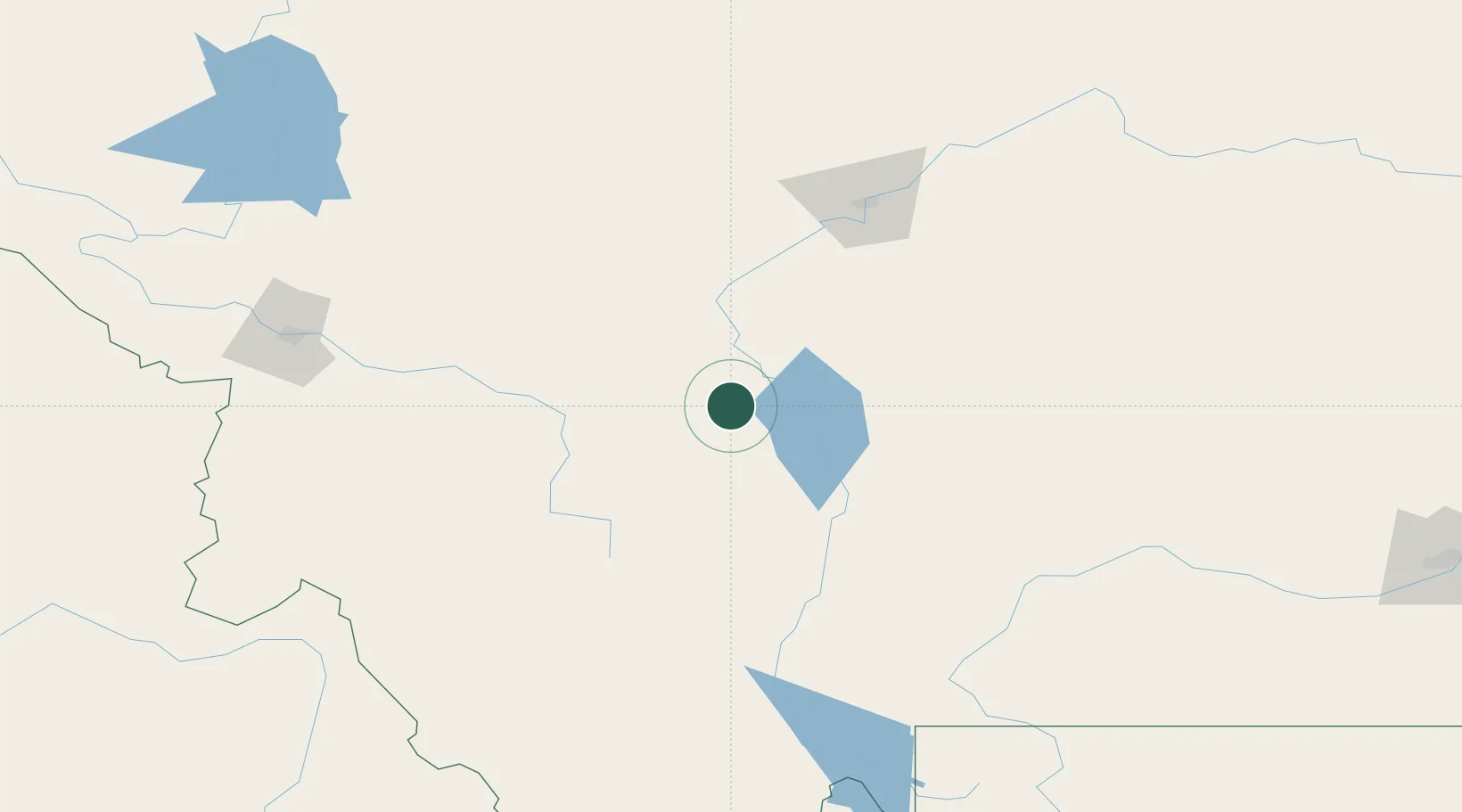
Montana City
46.5333°, -111.9333°
2,715
Population
2
Transport functions
Transport Functions
Rail
Road
Hub Profile
Place type
Populated place
Region
Montana
Population
2,715
Time zone
America/Denver
Elevation
1,236 m
Location
Nearby Logistics Neighbours
Cities
- 1Clancy8 km
- 2Three Forks Junction77 km
- 3Cascade84 km
- 4Belgrade104 km
- 5Stockett108 km
Ports
- 1The Dalles721 km
- 2Everett792 km
- 3Seattle796 km
- 4Mukilteo798 km
- 5Tacoma800 km
Airports
Trade Zones
- 1FTZ No. 275 Lansing75 km
- 2FTZ No. 274 Butte-Silver Bow103 km
- 3FTZ No. 088 Great Falls114 km
- 4FTZ No. 187 Toole County232 km
- 5FTZ No. 224 Spokane439 km
DatabookThe Record of Consolidated Knowledge
United States beyond logistics?