Medium airport · United States
Great Falls International AirportKGTF
47.4820°, -111.3710°
10,502 ft
Longest runway
3
Runways
3,680 ft
Elevation
Runway & Layout

Radio Frequencies
ATIS
126.6 MHz
TWR
118.7 MHz
GND
121.7 MHz
GND/CLNC DEL
A/D
128.6 MHz
APP/DEP
OPS
28.89 MHz
ANG OPS MAINT
RDO
122.6 MHz
UNIC
122.95 MHz
UNICOM
Navaids
GTF VORTAC Great Falls 115.10 MHz
ITU NDB Truly 371 kHz
Runways · 3
| Runway | Dimensions | Surface | True heading | Lit |
|---|---|---|---|---|
| 03/21 | 10,502 × 150ft | Asphalt | 045° | ✓ |
| 17/35 | 6,030 × 150ft | Asphalt | 180° | ✓ |
| 07/25 | 4,294 × 75ft | Asphalt | 090° | ✓ |
Airport Specifications
IATA code
GTF
ICAO code
KGTF
Airport class
Medium airport
Scheduled service
Yes
Runway surface
Asphalt
Served city
Great Falls
Location
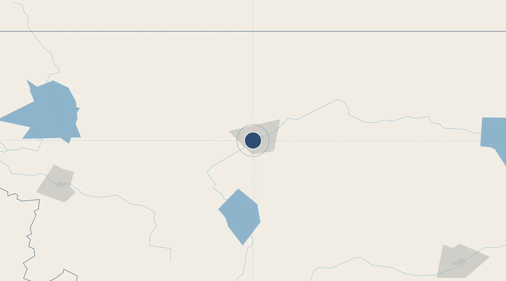
Nearby Logistics Neighbours
Airports
Cities
- 1Stockett21 km
- 2Cascade34 km
- 3Fort Benton64 km
- 4Montana City114 km
- 5Big Sandy122 km
Ports
- 1The Dalles779 km
- 2Everett812 km
- 3Mukilteo819 km
- 4Seattle822 km
- 5Mission City825 km
Trade Zones
- 1FTZ No. 088 Great Falls6 km
- 2FTZ No. 187 Toole County143 km
- 3FTZ No. 275 Lansing186 km
- 4FTZ No. 274 Butte-Silver Bow211 km
- 5FTZ No. 242 Boundary County428 km
DatabookThe Record of Consolidated Knowledge
United States beyond logistics?