Medium airport · United States
Lewistown Municipal AirportKLWT
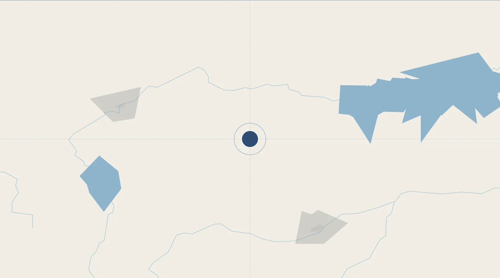
47.0484°, -109.4661°
6,100 ft
Longest runway
3
Runways
4,170 ft
Elevation
Runway & Layout

Radio Frequencies
ASOS
118.375 MHz
RDO
122.35 MHz
GREAT FALLS RDO
UNIC
123 MHz
CTAF/UNICOM
Navaids
LWT VORTAC Lewistown 112.00 MHz
Runways · 3
| Runway | Dimensions | Surface | True heading | Lit |
|---|---|---|---|---|
| 08/26 | 6,100 × 100ft | Asphalt | 090° | ✓ |
| 03/1 | 5,600 × 101ft | Asphalt | 038° | ✓ |
| 13/31 | 4,102 × 62ft | Asphalt | 140° | — |
Airport Specifications
IATA code
LWT
ICAO code
KLWT
Airport class
Medium airport
Scheduled service
No
Runway surface
Asphalt
Served city
Lewistown
Location
Nearby Logistics Neighbours
Airports
Cities
- 1Hilger24 km
- 2Harlowton72 km
- 3Fort Benton125 km
- 4Stockett133 km
- 5Big Sandy135 km
Ports
- 1The Dalles913 km
- 2Sacramento1357 km
- 3Courtland1382 km
- 4Walnut Grove1387 km
- 5Isleton1397 km
Trade Zones
- 1FTZ No. 088 Great Falls158 km
- 2FTZ No. 275 Lansing262 km
- 3FTZ No. 187 Toole County273 km
- 4FTZ No. 274 Butte-Silver Bow293 km
- 5Global Transportation Hub Authority512 km
DatabookThe Record of Consolidated Knowledge
United States beyond logistics?