UN/LOCODE hub · United States
USFBO
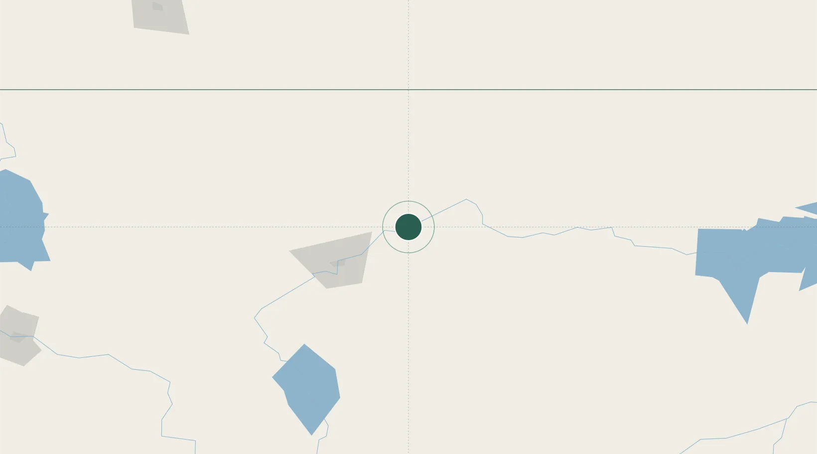
Fort Benton
47.8167°, -110.6833°
1,460
Population
2
Transport functions
Transport Functions
Rail
Road
Hub Profile
Place type
Provincial seat
Region
Montana
Population
1,460
Time zone
America/Denver
Elevation
799 m
Location
Nearby Logistics Neighbours
Ports
- 1The Dalles837 km
- 2Everett859 km
- 3Mission City865 km
- 4Mukilteo866 km
- 5Seattle871 km
Airports
Trade Zones
- 1FTZ No. 088 Great Falls67 km
- 2FTZ No. 187 Toole County148 km
- 3FTZ No. 275 Lansing245 km
- 4FTZ No. 274 Butte-Silver Bow272 km
- 5Calgary Region Inland Port435 km
DatabookThe Record of Consolidated Knowledge
United States beyond logistics?