Transport Functions
Port
Road
Hub Profile
Place type
Populated place
Region
Montana
Population
1,661
Time zone
America/Denver
Elevation
1,293 m
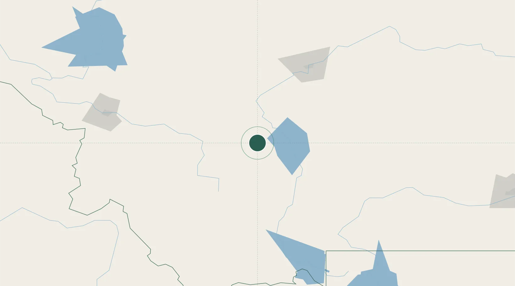
Location
Nearby Logistics Neighbours
Cities
- 1Montana City8 km
- 2Three Forks Junction72 km
- 3Cascade92 km
- 4Belgrade100 km
- 5Gallatin Gateway113 km
Ports
- 1The Dalles716 km
- 2Everett791 km
- 3Seattle794 km
- 4Mukilteo796 km
- 5Tacoma798 km
Airports
- 1Helena Regional Airport16 km
- 2Bert Mooney Airport69 km
- 3Bozeman Yellowstone International Airport100 km
- 4Great Falls International Airport122 km
- 5Mission Field146 km
Trade Zones
- 1FTZ No. 275 Lansing66 km
- 2FTZ No. 274 Butte-Silver Bow95 km
- 3FTZ No. 088 Great Falls123 km
- 4FTZ No. 187 Toole County239 km
- 5FTZ No. 224 Spokane437 km
DatabookThe Record of Consolidated Knowledge
United States beyond logistics?