Medium airport · United States

Havre City County AirportKHVR

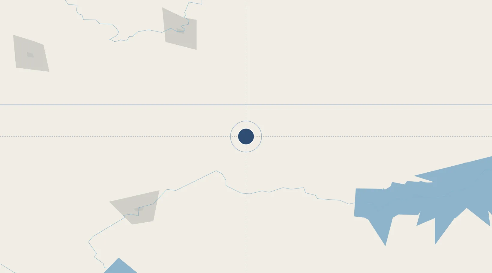
48.5414°, -109.7629°
5,205 ft
Longest runway
2
Runways
2,591 ft
Elevation

Runway & Layout

Havre City County Airport runway & taxiway layout
Runway & taxiway layout — OpenStreetMap (ODbL) / OurAirports

Radio Frequencies

ASOS
135.225 MHz
RDO
123.65 MHz
GREAT FALLS RDO
UNIC
122.8 MHz
CTAF/UNICOM
OurAirports

Navaids

HVR VOR-DME Havre 111.80 MHz
LDS NDB Leeds 389 kHz
OurAirports

Runways · 2

RunwayDimensions SurfaceTrue headingLit
08/26 5,205 × 100ft ASPH-F 090°
03/21 3,699 × 60ft Asphalt 045°
OurAirports

Airport Specifications

IATA code
HVR
OurAirports
ICAO code
KHVR
OurAirports
Airport class
Medium airport
OurAirports
Scheduled service
Yes
OurAirports
Runway surface
ASPH-F
OurAirports
Served city
Havre
OurAirports

Location

Location of KHVR
Natural Earth 10m (public domain) · Montana · KHVR · 48.54, -109.76GoogleOSMYandex

Nearby Logistics Neighbours

Airports
  1. 1Lewistown Municipal Airport168 km
  2. 2Great Falls International Airport168 km
  3. 3Medicine Hat Regional Airport178 km
  4. 4Cut Bank International Airport193 km
  5. 5Glasgow Valley County Airport Wokal Field235 km
Nearest neighbours — logibook spatial index (haversine) over the source coordinates
Cities
  1. 1Kremlin24 km
  2. 2Big Sandy48 km
  3. 3Fort Benton106 km
  4. 4Etzikom143 km
  5. 5Hilger147 km
Nearest neighbours — logibook spatial index (haversine) over the source coordinates
Ports
  1. 1Mission City916 km
  2. 2Everett923 km
  3. 3The Dalles924 km
  4. 4Mukilteo930 km
  5. 5Bellingham935 km
Nearest neighbours — logibook spatial index (haversine) over the source coordinates
Trade Zones
  1. 1FTZ No. 088 Great Falls170 km
  2. 2FTZ No. 187 Toole County186 km
  3. 3FTZ No. 275 Lansing351 km
  4. 4FTZ No. 274 Butte-Silver Bow378 km
  5. 5Calgary Region Inland Port416 km
Nearest neighbours — logibook spatial index (haversine) over the source coordinates
DatabookThe Record of Consolidated Knowledge
United States beyond logistics?
Browse databook

All Sources

AirportsOurAirports
Public domain
Portsthe NGA World Port Index
Public domain (US gov)
LocationsUN/LOCODE
UN/LOCODE — free
Trade Zonesthe World Bank SEZ database
CC BY 4.0
Trade ZonesOpen Zone Map
CC BY
InfrastructureOpenStreetMap
ODbL 1.0
← United States airports