Foreign Trade Zone · United States

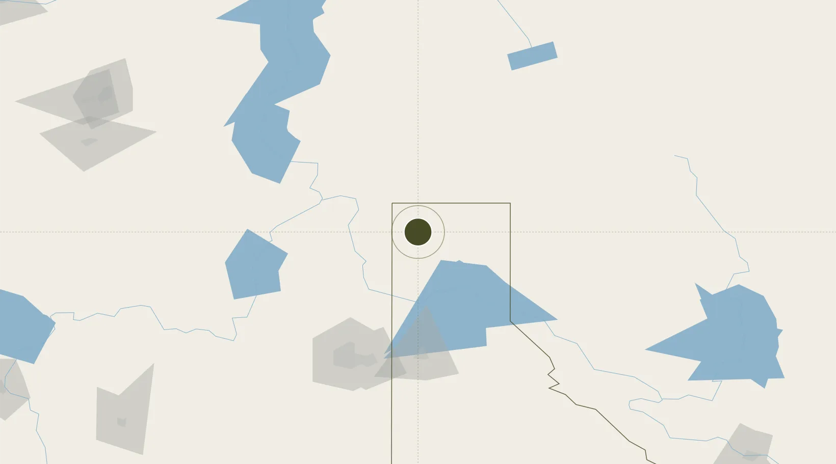
FTZ No. 242 Boundary County Inactive

48.7503°, -116.8208°
399.4 km
Nearest port
66.9 km
Nearest airport

Gateway access

Nearest neighbours — logibook spatial index (haversine) over the source coordinates

Zone profile

Zone type
Foreign Trade Zone
Open Zone Map
Region
Idaho
Open Zone Map
Status
Inactive
Open Zone Map
Management
Public
Open Zone Map
Operator
County of Boundary
Open Zone Map
Legal framework
Foreign-Trade Zones Act
Open Zone Map

Location

Location of ozm-4848
Natural Earth 10m (public domain) · Idaho · ozm-4848 · 48.75, -116.82GoogleOSMYandex

Nearby Logistics Neighbours

Ports
  1. 1Mission City399 km
  2. 2Everett407 km
  3. 3Mukilteo415 km
  4. 4Bellingham416 km
  5. 5Anacortes427 km
Nearest neighbours — logibook spatial index (haversine) over the source coordinates
Airports
  1. 1Trail Regional Airport67 km
  2. 2Castlegar/West Kootenay Regional Airport85 km
  3. 3Coeur D'Alene Airport - Pappy Boyington Field109 km
  4. 4Grand Forks Airport121 km
  5. 5Cranbrook/Canadian Rockies International Airport122 km
Nearest neighbours — logibook spatial index (haversine) over the source coordinates
Cities
  1. 1Bonners Ferry38 km
  2. 2Erickson45 km
  3. 3Kootenai53 km
  4. 4Kingsgate54 km
  5. 5Salmo60 km
Nearest neighbours — logibook spatial index (haversine) over the source coordinates
Trade Zones
  1. 1FTZ No. 224 Spokane129 km
  2. 2FTZ No. 203 Moses Lake260 km
  3. 3Calgary Region Inland Port323 km
  4. 4FTZ No. 187 Toole County333 km
  5. 5FTZ No. 085 Everett407 km
Nearest neighbours — logibook spatial index (haversine) over the source coordinates
DatabookThe Record of Consolidated Knowledge
United States beyond logistics?
Browse databook

All Sources

Trade ZonesOpen Zone Map
CC BY
Portsthe NGA World Port Index
Public domain (US gov)
AirportsOurAirports
Public domain
LocationsUN/LOCODE
UN/LOCODE — free
← United States trade zones