Transport Functions
Port
Rail
Road
Hub Profile
Place type
Populated place
Region
Florida
Population
796
Time zone
America/Chicago
Elevation
4 m
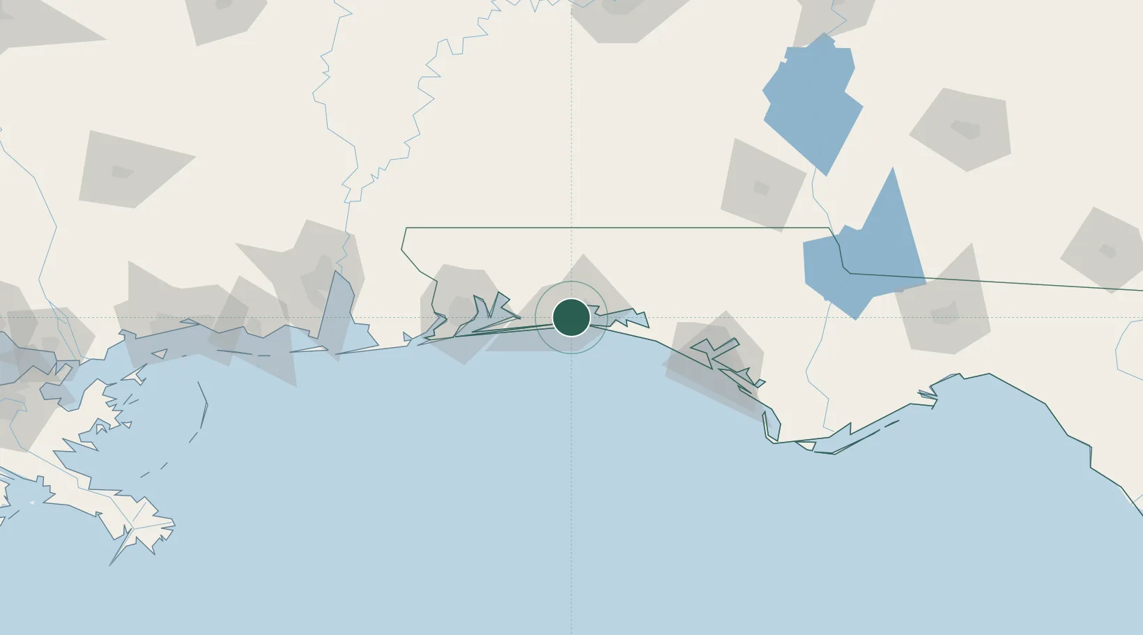
Location
Nearby Logistics Neighbours
Cities
- 1Eglin Air Force Base3 km
- 2Mary Esther7 km
- 3Miramar Beach23 km
- 4Navarre26 km
- 5Holt34 km
Ports
- 1Pensacola61 km
- 2Panama City96 km
- 3Port St Joe141 km
- 4Mobile149 km
- 5Apalachicola174 km
Airports
- 1Destin-Fort Walton Beach Airport7 km
- 2Hurlburt Field11 km
- 3Destin Executive Airport12 km
- 4Duke Field23 km
- 5Bob Sikes Airport37 km
Trade Zones
- 1FTZ No. 249 Pensacola65 km
- 2FTZ No. 065 Panama City85 km
- 3FTZ No. 233 Dothan140 km
- 4FTZ No. 082 Mobile147 km
- 5FTZ No. 222 Montgomery216 km
DatabookThe Record of Consolidated Knowledge
United States beyond logistics?