UN/LOCODE hub · United States
USEF2
Eglin Air Force Base
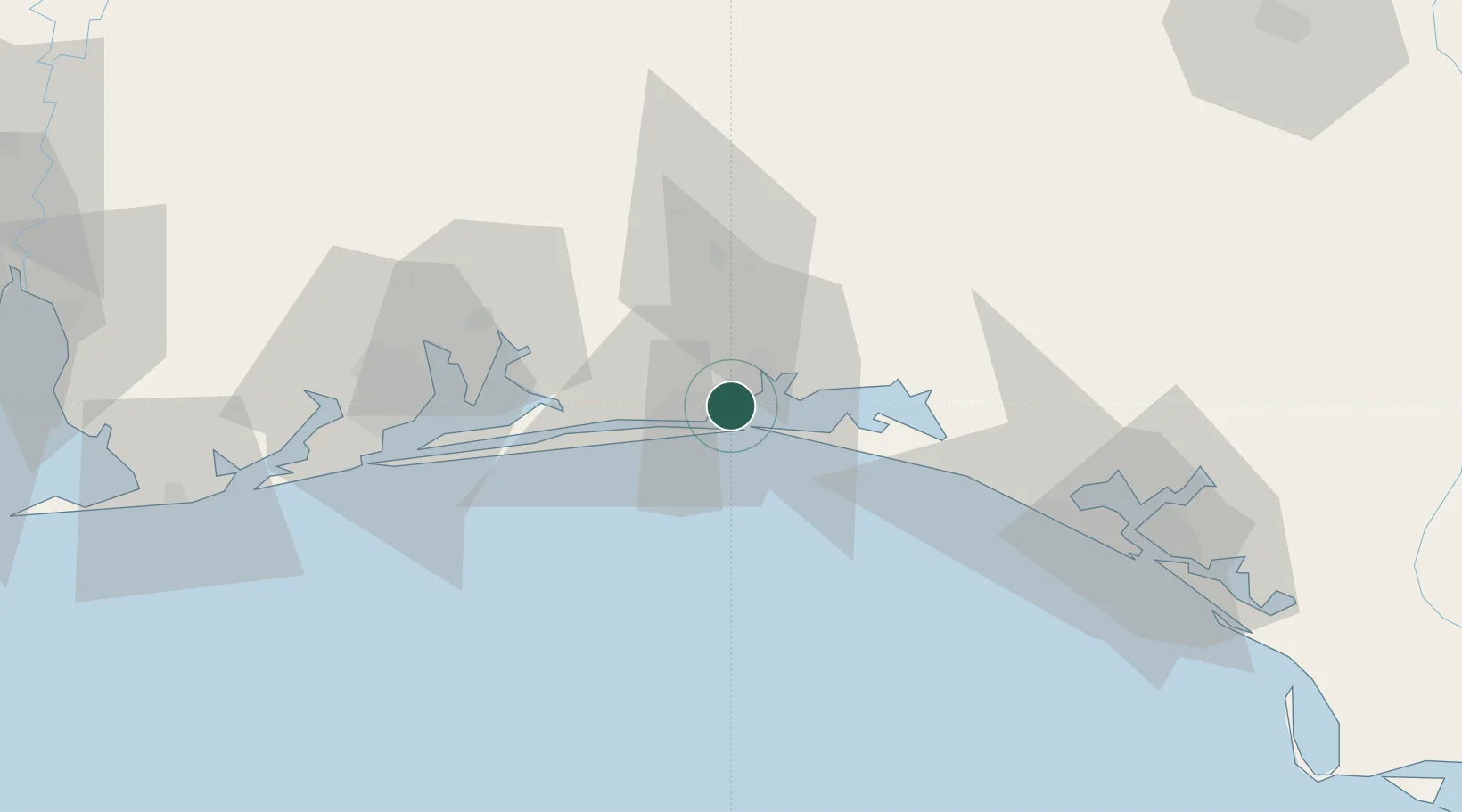
30.4500°, -86.5500°
2,274
Population
3
Transport functions
Transport Functions
Rail
Road
Airport
Hub Profile
Place type
Populated place
Region
Florida
Population
2,274
Time zone
America/Chicago
Elevation
13 m
Location
Nearby Logistics Neighbours
Cities
- 1Shalimar3 km
- 2Mary Esther10 km
- 3Miramar Beach20 km
- 4Navarre29 km
- 5Santa Rosa Beach31 km
Ports
- 1Pensacola64 km
- 2Panama City93 km
- 3Port St Joe138 km
- 4Mobile152 km
- 5Apalachicola171 km
Airports
- 1Destin-Fort Walton Beach Airport5 km
- 2Destin Executive Airport9 km
- 3Hurlburt Field14 km
- 4Duke Field22 km
- 5Bob Sikes Airport37 km
Trade Zones
- 1FTZ No. 249 Pensacola68 km
- 2FTZ No. 065 Panama City82 km
- 3FTZ No. 233 Dothan138 km
- 4FTZ No. 082 Mobile150 km
- 5FTZ No. 222 Montgomery215 km
DatabookThe Record of Consolidated Knowledge
United States beyond logistics?