Transport Functions
Rail
Road
Multimodal
Hub Profile
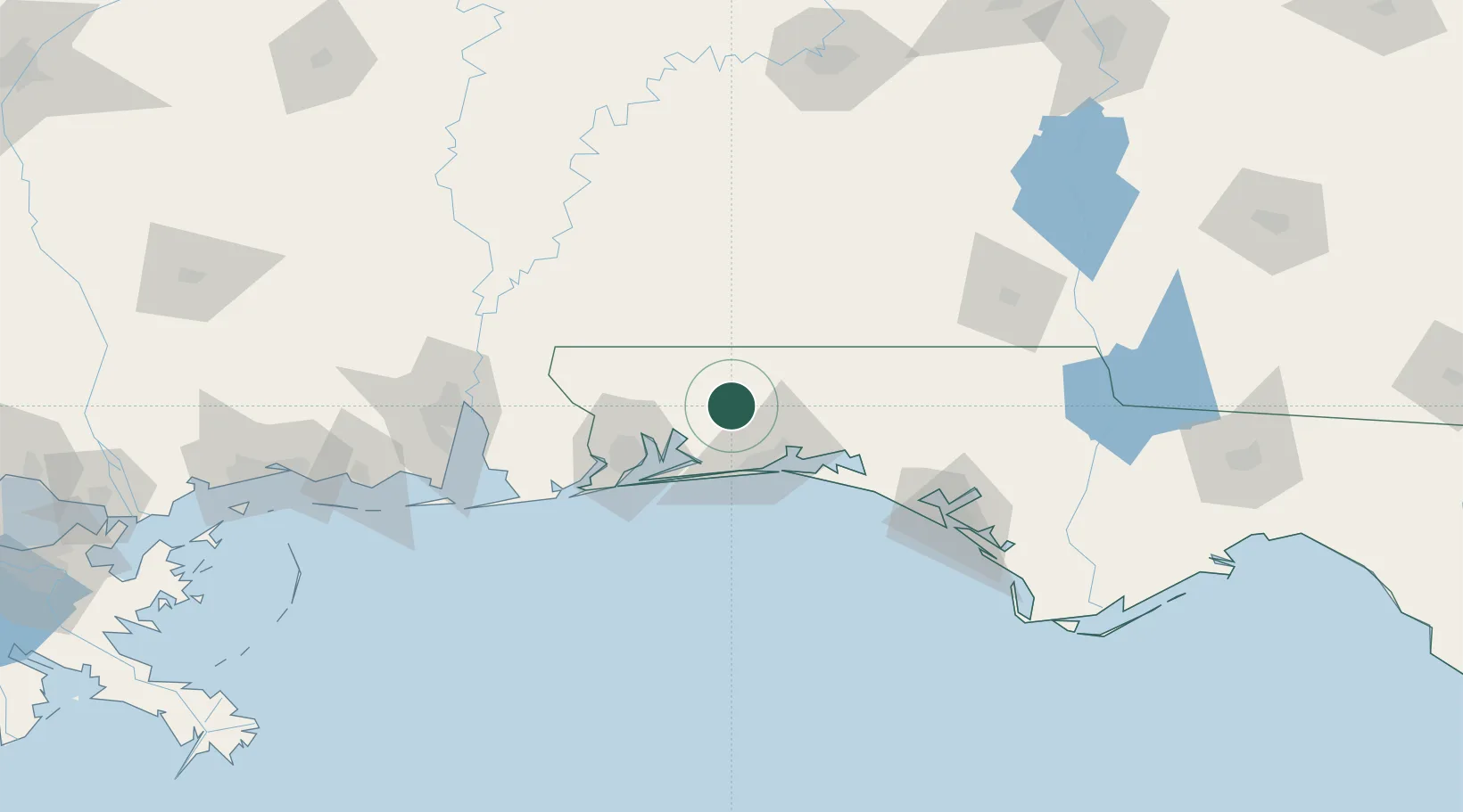
Place type
Populated place
Region
Florida
Time zone
America/Chicago
Elevation
60 m
Location
Nearby Logistics Neighbours
Cities
- 1Shalimar34 km
- 2Mary Esther35 km
- 3Eglin Air Force Base35 km
- 4Navarre37 km
- 5Cantonment51 km
Ports
- 1Pensacola57 km
- 2Panama City124 km
- 3Mobile131 km
- 4Port St Joe170 km
- 5Pascagoula179 km
Airports
Trade Zones
- 1FTZ No. 249 Pensacola58 km
- 2FTZ No. 065 Panama City112 km
- 3FTZ No. 082 Mobile128 km
- 4FTZ No. 233 Dothan138 km
- 5FTZ No. 222 Montgomery189 km
DatabookThe Record of Consolidated Knowledge
United States beyond logistics?