Medium airport · United States
Bob Sikes AirportKCEW
30.7788°, -86.5221°
8,006 ft
Longest runway
1
Runways
213 ft
Elevation
Runway & Layout

Radio Frequencies
ASOS
119.275 MHz
A/D
124.05 MHz
EGLIN APP/DEP
RDO
122 MHz
GAINESVILLE RDO
UNIC
122.95 MHz
CTAF/UNICOM
Navaids
CE NDB Kobra 201 kHz
Runways · 1
| Runway | Dimensions | Surface | True heading | Lit |
|---|---|---|---|---|
| 17/35 | 8,006 × 150ft | Asphalt | 171° | ✓ |
Airport Specifications
IATA code
CEW
ICAO code
KCEW
Airport class
Medium airport
Scheduled service
No
Runway surface
Asphalt
Served city
Crestview
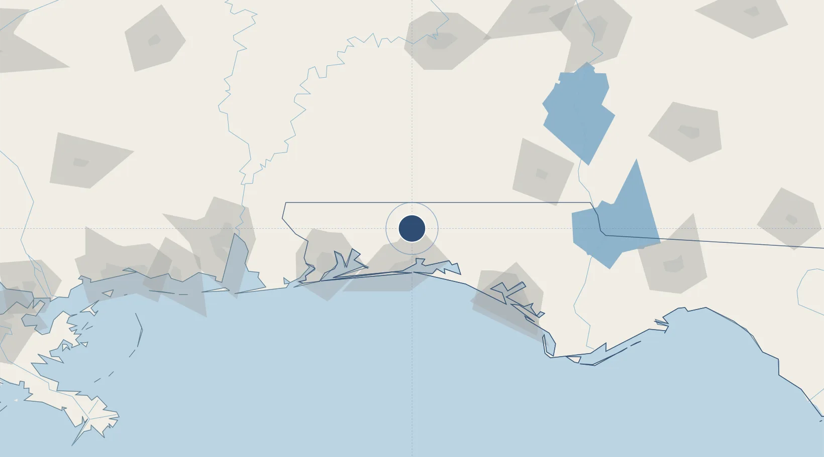
Location
Nearby Logistics Neighbours
Airports
- 1Duke Field14 km
- 2Destin-Fort Walton Beach Airport33 km
- 3Hurlburt Field42 km
- 4Destin Executive Airport42 km
- 5Whiting Field Naval Air Station - North48 km
Cities
- 1Holt23 km
- 2Eglin Air Force Base37 km
- 3Shalimar37 km
- 4De Funiak Springs41 km
- 5Mary Esther42 km
Ports
- 1Pensacola79 km
- 2Panama City110 km
- 3Mobile153 km
- 4Port St Joe158 km
- 5Apalachicola189 km
Trade Zones
- 1FTZ No. 249 Pensacola80 km
- 2FTZ No. 065 Panama City98 km
- 3FTZ No. 233 Dothan116 km
- 4FTZ No. 082 Mobile150 km
- 5FTZ No. 222 Montgomery179 km
DatabookThe Record of Consolidated Knowledge
United States beyond logistics?