UN/LOCODE hub · United States
USNVA
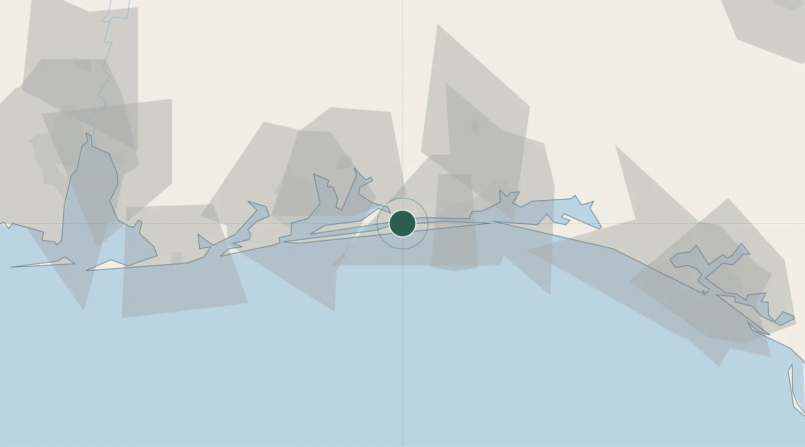
Navarre
30.4000°, -86.8500°
31,378
Population
3
Transport functions
Transport Functions
Port
Road
Multimodal
Hub Profile
Place type
Populated place
Region
Florida
Population
31,378
Time zone
America/Chicago
Elevation
3 m
Location
Nearby Logistics Neighbours
Cities
- 1Mary Esther19 km
- 2Shalimar26 km
- 3Pensacola Beach28 km
- 4Eglin Air Force Base29 km
- 5Gulf Breeze31 km
Ports
- 1Pensacola35 km
- 2Panama City119 km
- 3Mobile125 km
- 4Port St Joe161 km
- 5Pascagoula165 km
Airports
Trade Zones
- 1FTZ No. 249 Pensacola40 km
- 2FTZ No. 065 Panama City108 km
- 3FTZ No. 082 Mobile123 km
- 4FTZ No. 233 Dothan164 km
- 5FTZ No. 092 Harrison County203 km
DatabookThe Record of Consolidated Knowledge
United States beyond logistics?