UN/LOCODE hub · United States
USMYT
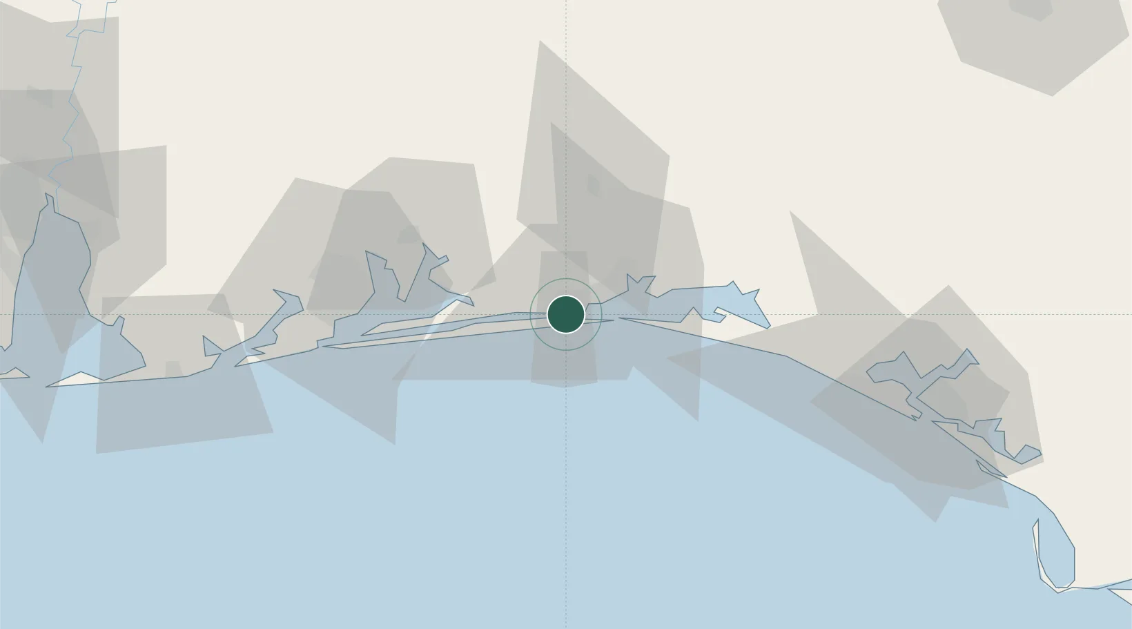
Mary Esther
30.4167°, -86.6500°
4,238
Population
2
Transport functions
Transport Functions
Road
Multimodal
Hub Profile
Place type
Populated place
Region
Florida
Population
4,238
Time zone
America/Chicago
Elevation
7 m
Location
Nearby Logistics Neighbours
Cities
- 1Shalimar7 km
- 2Eglin Air Force Base10 km
- 3Navarre19 km
- 4Miramar Beach28 km
- 5Holt35 km
Ports
- 1Pensacola54 km
- 2Panama City101 km
- 3Mobile144 km
- 4Port St Joe145 km
- 5Apalachicola178 km
Airports
- 1Hurlburt Field4 km
- 2Destin-Fort Walton Beach Airport15 km
- 3Destin Executive Airport17 km
- 4Duke Field29 km
- 5Bob Sikes Airport42 km
Trade Zones
- 1FTZ No. 249 Pensacola59 km
- 2FTZ No. 065 Panama City90 km
- 3FTZ No. 082 Mobile141 km
- 4FTZ No. 233 Dothan148 km
- 5FTZ No. 222 Montgomery220 km
DatabookThe Record of Consolidated Knowledge
United States beyond logistics?