Medium airport · United States
Hurlburt FieldKHRT
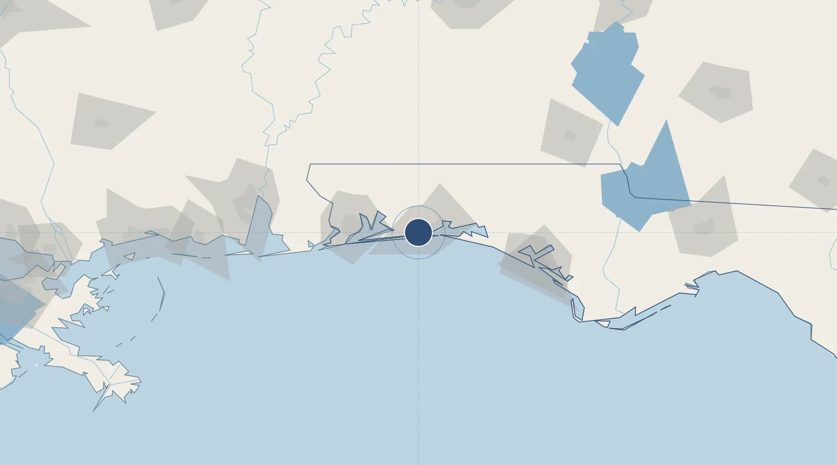
30.4278°, -86.6893°
9,600 ft
Longest runway
1
Runways
38 ft
Elevation
Runway & Layout

Radio Frequencies
ATIS
36.067 MHz
TWR
126.5 MHz
GND
123.975 MHz
APP
37.915 MHz
EGLIN APP
APP
133 MHz
EGLIN APP
DEP
132.1 MHz
EGLIN DEP
PMSV
39.075 MHz
PMSV METRO
POST
140.4 MHz
COMD POST
PTD
37.22 MHz
Navaids
HRT TACAN Hurlburt 110.80 MHz
Runways · 1
| Runway | Dimensions | Surface | True heading | Lit |
|---|---|---|---|---|
| 18/36 | 9,600 × 150ft | Concrete | 176° | ✓ |
Airport Specifications
ICAO code
KHRT
Airport class
Medium airport
Scheduled service
No
Runway surface
Concrete
Served city
Mary Esther
Location
Nearby Logistics Neighbours
Airports
Cities
- 1Mary Esther4 km
- 2Shalimar11 km
- 3Eglin Air Force Base14 km
- 4Navarre16 km
- 5Miramar Beach32 km
Ports
- 1Pensacola51 km
- 2Panama City105 km
- 3Mobile140 km
- 4Port St Joe149 km
- 5Pascagoula180 km
Trade Zones
- 1FTZ No. 249 Pensacola55 km
- 2FTZ No. 065 Panama City94 km
- 3FTZ No. 082 Mobile137 km
- 4FTZ No. 233 Dothan150 km
- 5FTZ No. 092 Harrison County219 km
DatabookThe Record of Consolidated Knowledge
United States beyond logistics?