UN/LOCODE hub · United States
USIBC
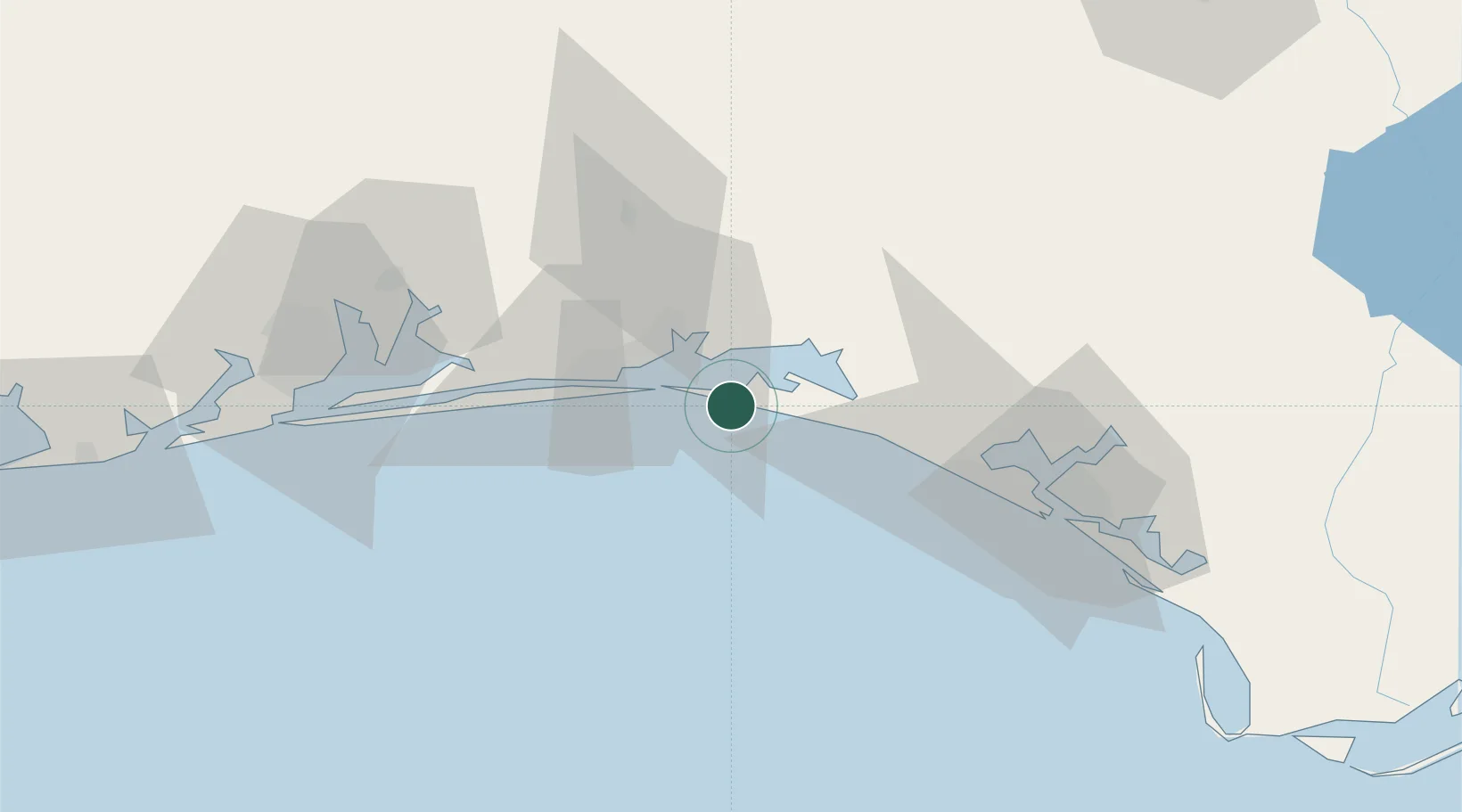
Miramar Beach
30.3667°, -86.3667°
6,146
Population
2
Transport functions
Transport Functions
Road
Multimodal
Hub Profile
Place type
Populated place
Region
Florida
Population
6,146
Time zone
America/Chicago
Elevation
6 m
Location
Nearby Logistics Neighbours
Cities
- 1Santa Rosa Beach13 km
- 2Eglin Air Force Base20 km
- 3Shalimar23 km
- 4Freeport26 km
- 5Mary Esther28 km
Ports
- 1Panama City74 km
- 2Pensacola82 km
- 3Port St Joe118 km
- 4Apalachicola152 km
- 5Mobile171 km
Airports
- 1Destin Executive Airport11 km
- 2Destin-Fort Walton Beach Airport19 km
- 3Hurlburt Field32 km
- 4Duke Field35 km
- 5Bob Sikes Airport48 km
Trade Zones
- 1FTZ No. 065 Panama City63 km
- 2FTZ No. 249 Pensacola86 km
- 3FTZ No. 233 Dothan131 km
- 4FTZ No. 082 Mobile169 km
- 5FTZ No. 222 Montgomery223 km
DatabookThe Record of Consolidated Knowledge
United States beyond logistics?