UN/LOCODE hub · United States
USSO5
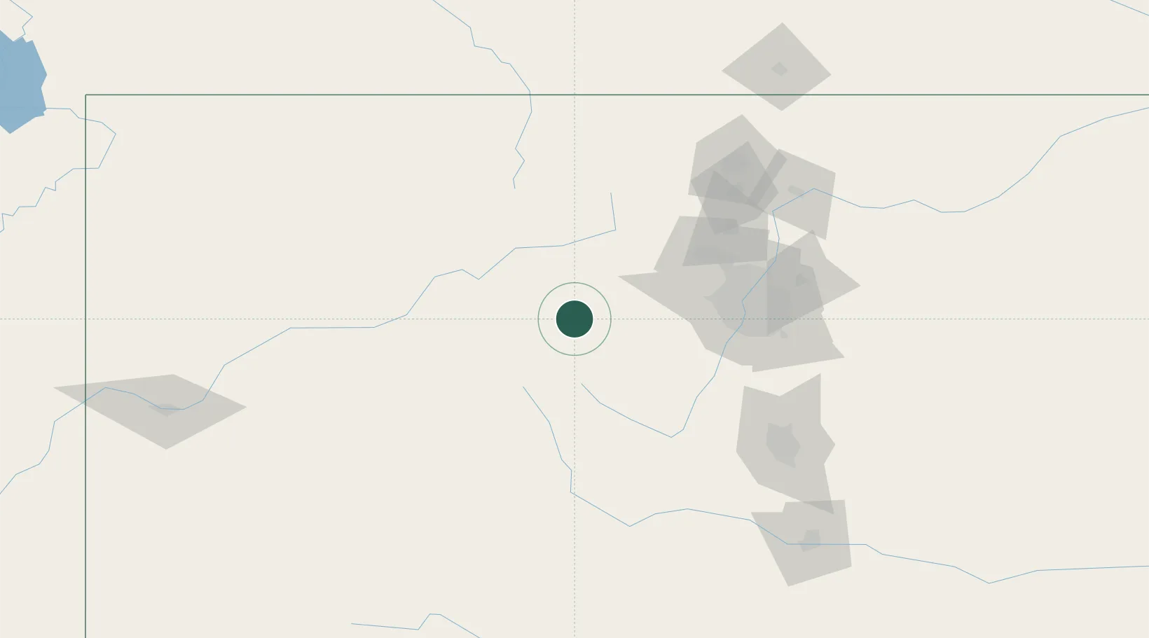
Silverthorne
39.6333°, -106.0667°
4,418
Population
2
Transport functions
Transport Functions
Road
Multimodal
Hub Profile
Place type
Populated place
Region
Colorado
Population
4,418
Time zone
America/Denver
Elevation
2,669 m
Location
Nearby Logistics Neighbours
Cities
- 1Climax31 km
- 2Winter Park38 km
- 3Avon39 km
- 4Edwards46 km
- 5Black Hawk53 km
Ports
- 1Newport Beach1248 km
- 2San Diego1258 km
- 3Long Beach1260 km
- 4Los Angeles1266 km
- 5El Segundo1270 km
Airports
Trade Zones
- 1FTZ No. 298 Jefferson County79 km
- 2FTZ No. 123 Denver93 km
- 3FTZ No. 112 Colorado Springs139 km
- 4FTZ No. 293 Limon208 km
- 5FTZ No. 110 Albuquerque510 km
DatabookThe Record of Consolidated Knowledge
United States beyond logistics?