UN/LOCODE hub · United States
USWIP
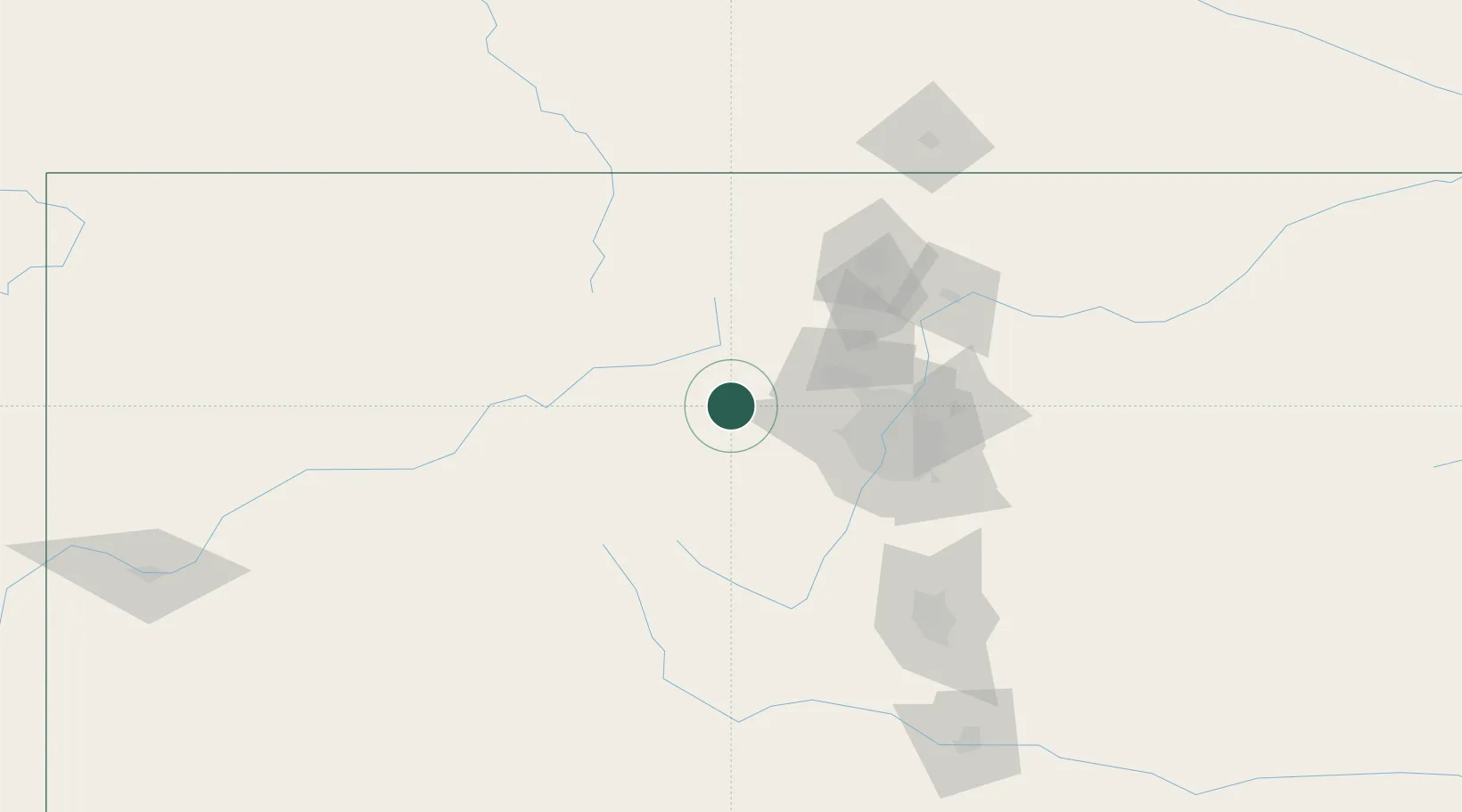
Winter Park
39.8833°, -105.7667°
993
Population
3
Transport functions
Transport Functions
Rail
Road
Multimodal
Hub Profile
Place type
Populated place
Region
Colorado
Population
993
Time zone
America/Denver
Elevation
2,759 m
Location
Nearby Logistics Neighbours
Cities
- 1Black Hawk27 km
- 2Silverthorne38 km
- 3Lyons56 km
- 4Arvada59 km
- 5Lafayette59 km
Ports
- 1Newport Beach1284 km
- 2San Diego1295 km
- 3Rosarito1315 km
- 4Ensenada1322 km
- 5Duluth1342 km
Airports
Trade Zones
- 1FTZ No. 298 Jefferson County55 km
- 2FTZ No. 123 Denver68 km
- 3FTZ No. 112 Colorado Springs142 km
- 4FTZ No. 293 Limon191 km
- 5FTZ No. 030 Salt Lake City537 km
DatabookThe Record of Consolidated Knowledge
United States beyond logistics?