UN/LOCODE hub · United States
USHWJ
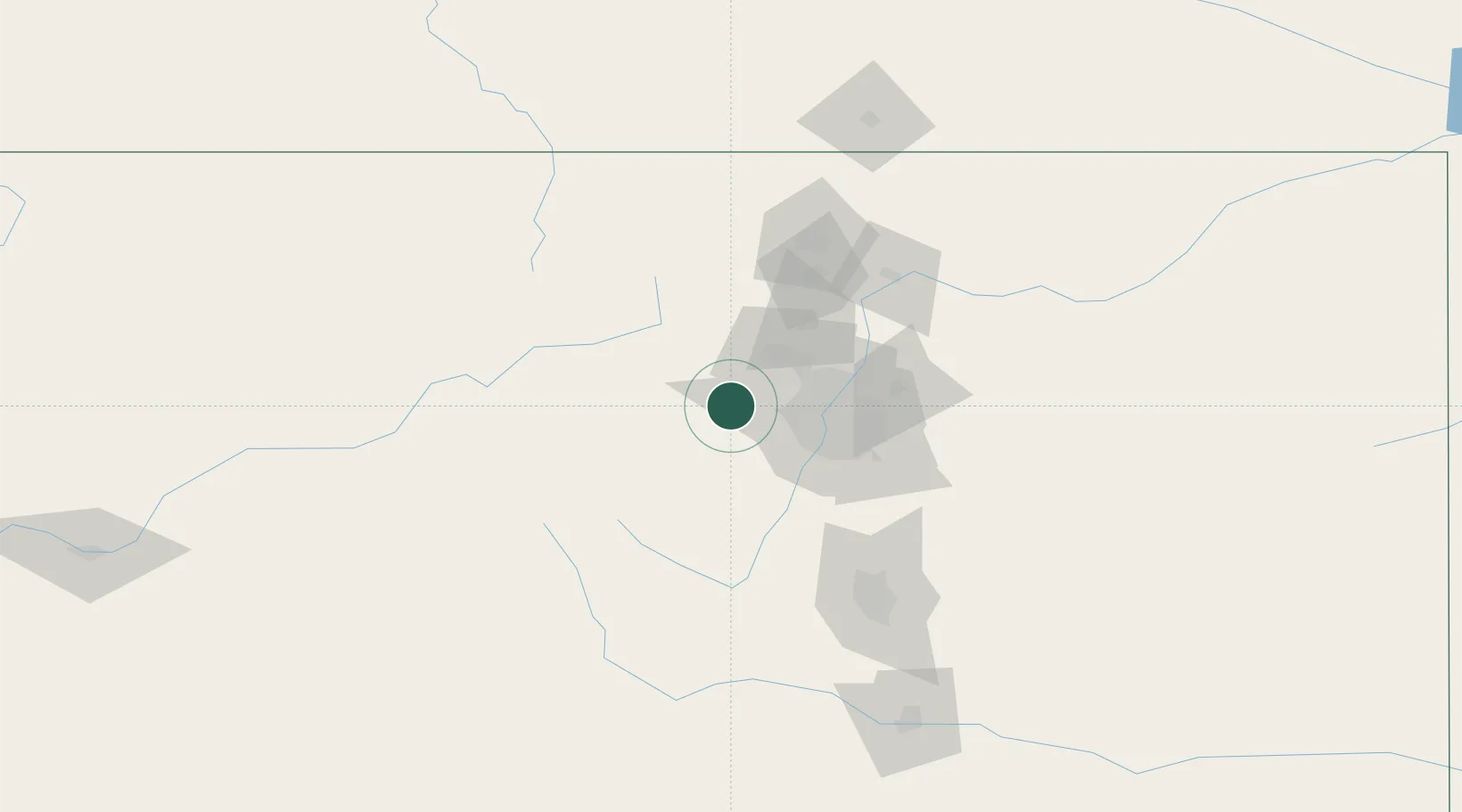
Black Hawk
39.7833°, -105.4833°
125
Population
2
Transport functions
Transport Functions
Port
Multimodal
Hub Profile
Place type
Populated place
Region
Colorado
Population
125
Time zone
America/Denver
Elevation
2,602 m
Location
Nearby Logistics Neighbours
Cities
- 1Winter Park27 km
- 2Arvada34 km
- 3Lafayette41 km
- 4Thornton45 km
- 5Erie47 km
Ports
- 1Newport Beach1300 km
- 2San Diego1309 km
- 3Rosarito1329 km
- 4Duluth1330 km
- 5Superior1330 km
Airports
Trade Zones
- 1FTZ No. 298 Jefferson County29 km
- 2FTZ No. 123 Denver42 km
- 3FTZ No. 112 Colorado Springs120 km
- 4FTZ No. 293 Limon165 km
- 5FTZ No. 110 Albuquerque536 km
DatabookThe Record of Consolidated Knowledge
United States beyond logistics?