UN/LOCODE hub · United States
USEDZ
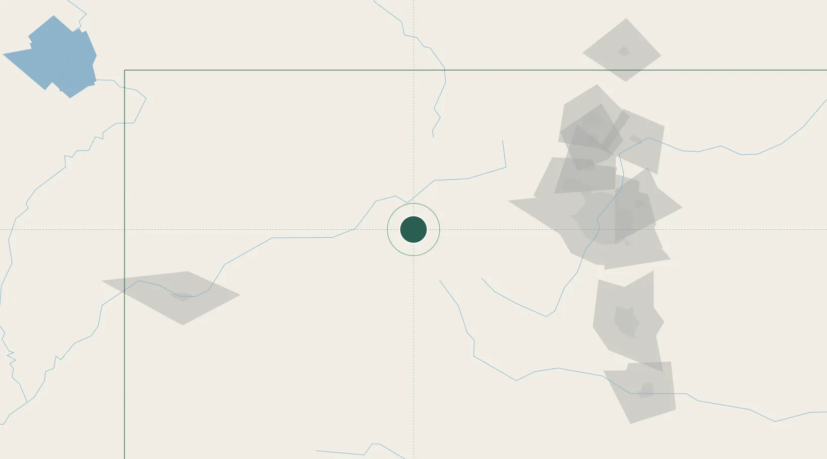
Edwards
39.6500°, -106.6000°
10,266
Population
3
Transport functions
Transport Functions
Rail
Road
Multimodal
Hub Profile
Place type
Populated place
Region
Colorado
Population
10,266
Time zone
America/Denver
Elevation
2,201 m
Location
Nearby Logistics Neighbours
Cities
- 1Avon7 km
- 2Eagle19 km
- 3Gypsum30 km
- 4Silverthorne46 km
- 5Climax49 km
Ports
- 1Newport Beach1210 km
- 2Long Beach1221 km
- 3San Diego1222 km
- 4Los Angeles1227 km
- 5El Segundo1230 km
Airports
Trade Zones
- 1FTZ No. 298 Jefferson County124 km
- 2FTZ No. 123 Denver138 km
- 3FTZ No. 112 Colorado Springs178 km
- 4FTZ No. 293 Limon254 km
- 5FTZ No. 030 Salt Lake City475 km
DatabookThe Record of Consolidated Knowledge
United States beyond logistics?