Transport Functions
Port
Multimodal
Hub Profile
Place type
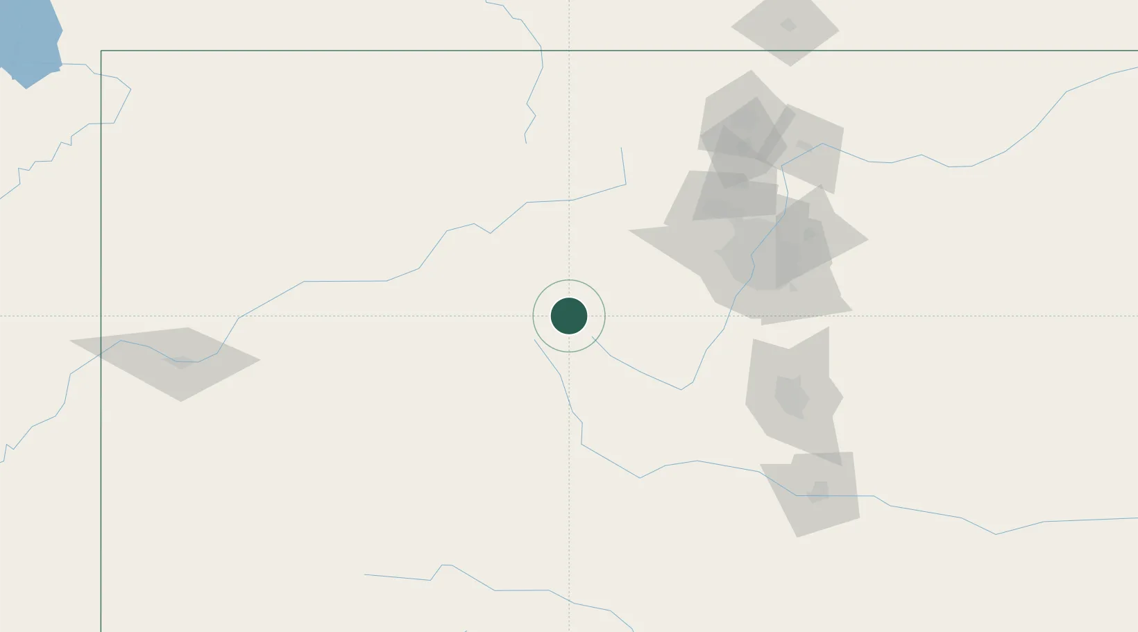
Populated place
Region
Kansas
Population
68
Time zone
America/Chicago
Elevation
317 m
Location
Nearby Logistics Neighbours
Cities
- 1Silverthorne31 km
- 2Granite36 km
- 3Avon42 km
- 4Edwards49 km
- 5Buena Vista59 km
Ports
- 1Newport Beach1227 km
- 2San Diego1235 km
- 3Long Beach1239 km
- 4Los Angeles1245 km
- 5El Segundo1249 km
Airports
Trade Zones
- 1FTZ No. 298 Jefferson County96 km
- 2FTZ No. 123 Denver109 km
- 3FTZ No. 112 Colorado Springs130 km
- 4FTZ No. 293 Limon214 km
- 5FTZ No. 110 Albuquerque480 km
DatabookThe Record of Consolidated Knowledge
United States beyond logistics?