Transport Functions
Port
Rail
Road
Multimodal
Hub Profile
Place type
Populated place
Region
Colorado
Population
6,505
Time zone
America/Denver
Elevation
2,265 m
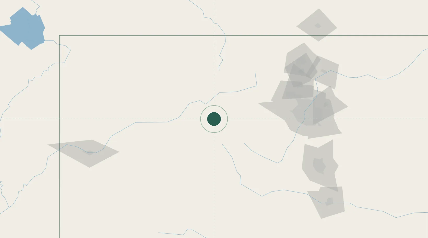
Location
Nearby Logistics Neighbours
Cities
- 1Edwards7 km
- 2Eagle26 km
- 3Gypsum37 km
- 4Silverthorne39 km
- 5Climax42 km
Ports
- 1Newport Beach1215 km
- 2Long Beach1226 km
- 3San Diego1227 km
- 4Los Angeles1232 km
- 5El Segundo1236 km
Airports
Trade Zones
- 1FTZ No. 298 Jefferson County117 km
- 2FTZ No. 123 Denver131 km
- 3FTZ No. 112 Colorado Springs171 km
- 4FTZ No. 293 Limon246 km
- 5FTZ No. 030 Salt Lake City482 km
DatabookThe Record of Consolidated Knowledge
United States beyond logistics?