Medium airport · United States

Eagle County Regional AirportKEGE

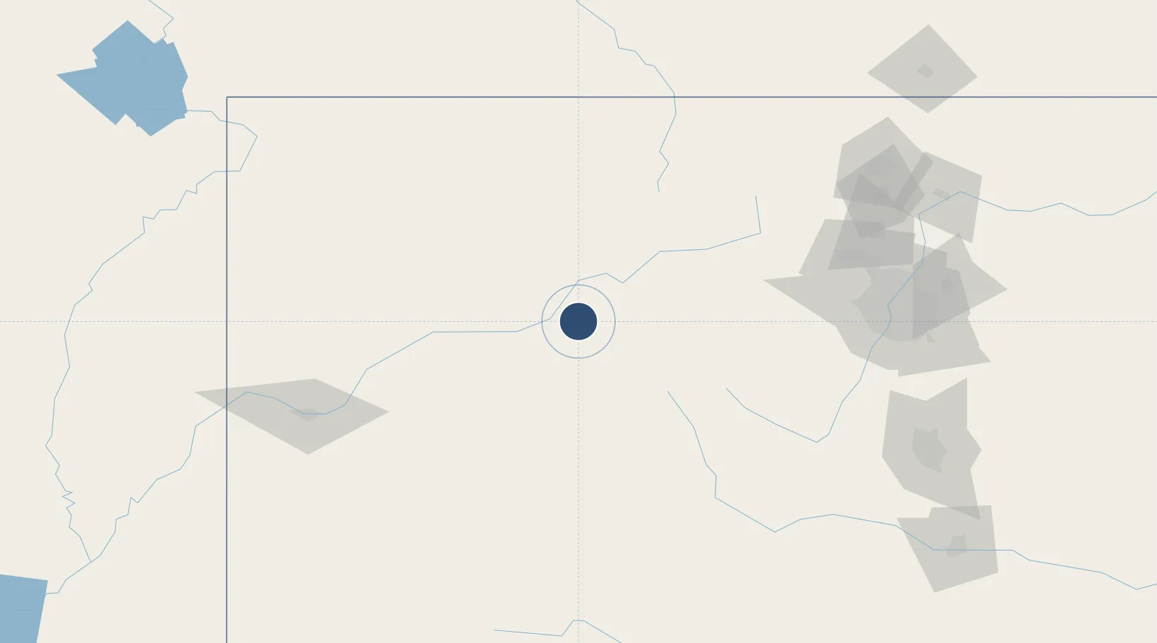
39.6426°, -106.9180°
9,000 ft
Longest runway
1
Runways
6,548 ft
Elevation

Runway & Layout

Eagle County Regional Airport runway & taxiway layout
Runway & taxiway layout — OpenStreetMap (ODbL) / OurAirports

Radio Frequencies

ATIS
135.575 MHz
AWOS
135.575 MHz
AWOS 3
TWR
119.8 MHz
CTAF
119.8 MHz
CNTR
128.65 MHz
DENVER CNTR
GCCD
121.8 MHz
GND/CLNC DEL
MISC
41.75 MHz
EAGLES NEST
RDO
122.2 MHz
DENVER RDO
OurAirports

Navaids

SXW VOR-DME Snow 109.20 MHz
OurAirports

Runways · 1

RunwayDimensions SurfaceTrue headingLit
07/25 9,000 × 150ft Asphalt 082°
OurAirports

Airport Specifications

IATA code
EGE
OurAirports
ICAO code
KEGE
OurAirports
Airport class
Medium airport
OurAirports
Scheduled service
Yes
OurAirports
Runway surface
Asphalt
OurAirports
Served city
Eagle
OurAirports

Location

Location of KEGE
Natural Earth 10m (public domain) · Colorado · KEGE · 39.64, -106.92GoogleOSMYandex

Nearby Logistics Neighbours

Airports
  1. 1Aspen-Pitkin County Airport (Sardy Field)47 km
  2. 2Garfield County Regional Airport71 km
  3. 3Yampa Valley Airport97 km
  4. 4Gunnison Crested Butte Regional Airport123 km
  5. 5Grand Junction Regional Airport150 km
Nearest neighbours — logibook spatial index (haversine) over the source coordinates
Cities
  1. 1Gypsum3 km
  2. 2Eagle9 km
  3. 3Edwards27 km
  4. 4Avon34 km
  5. 5Carbondale35 km
Nearest neighbours — logibook spatial index (haversine) over the source coordinates
Ports
  1. 1Newport Beach1186 km
  2. 2Long Beach1197 km
  3. 3San Diego1199 km
  4. 4Los Angeles1203 km
  5. 5El Segundo1206 km
Nearest neighbours — logibook spatial index (haversine) over the source coordinates
Trade Zones
  1. 1FTZ No. 298 Jefferson County151 km
  2. 2FTZ No. 123 Denver165 km
  3. 3FTZ No. 112 Colorado Springs202 km
  4. 4FTZ No. 293 Limon281 km
  5. 5FTZ No. 030 Salt Lake City449 km
Nearest neighbours — logibook spatial index (haversine) over the source coordinates
DatabookThe Record of Consolidated Knowledge
United States beyond logistics?
Browse databook

All Sources

AirportsOurAirports
Public domain
Portsthe NGA World Port Index
Public domain (US gov)
LocationsUN/LOCODE
UN/LOCODE — free
Trade Zonesthe World Bank SEZ database
CC BY 4.0
Trade ZonesOpen Zone Map
CC BY
InfrastructureOpenStreetMap
ODbL 1.0
← United States airports