Channel & Berth Profile
Pilotage, Tugs & Services
Pilotage compulsoryYES
Potable waterNO
Diesel bunkersNO
MedicalYES
Garbage disposalNO
Facilities & Capabilities
Container—
Ro-Ro—
Liquid bulk—
Dry bulk—
Oil terminal—
Break bulk—
Dry dock—
Repairs—
BunkeringNO
Rail link—
Dangerous cargo—
ISPS security—
Harbour Specifications
Harbour size
Very Small
Harbour type
Open Roadstead
Shelter
Fair
Water body
North Pacific Ocean
Tidal range
1.8 m
Pilotage
Yes
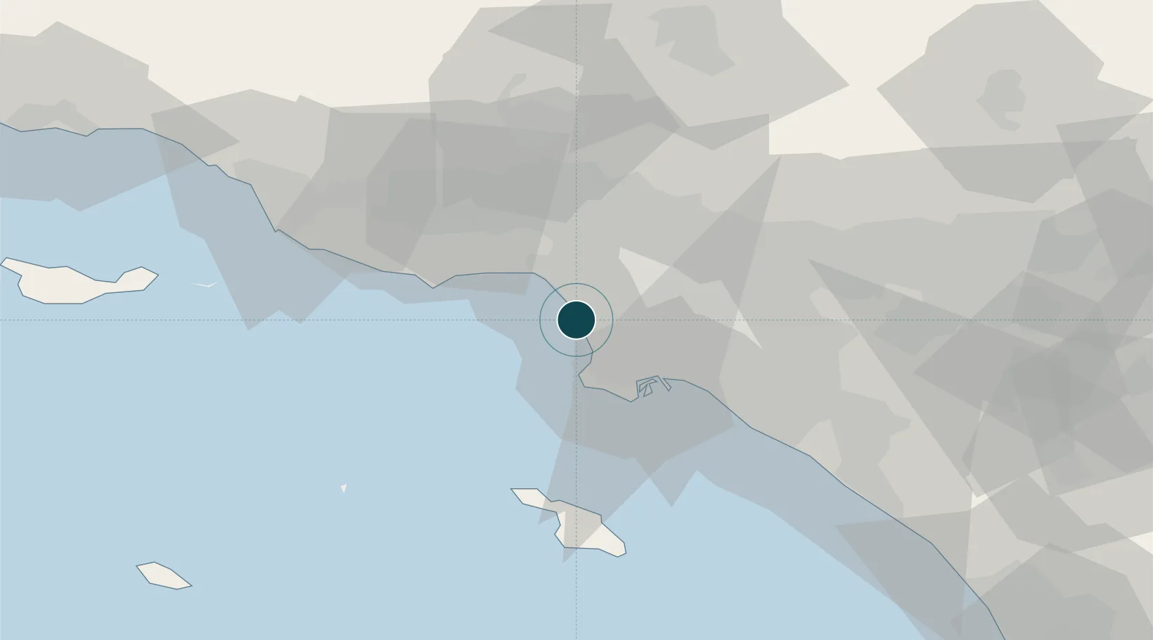
Location
Nearby Logistics Neighbours
Ports
- 1Los Angeles25 km
- 2Long Beach29 km
- 3Newport Beach60 km
- 4Avalon64 km
- 5Port Hueneme75 km
Cities
- 1Playa Vista6 km
- 2Westwood15 km
- 3South Gate22 km
- 4Wilmington22 km
- 5Long Beach23 km
Airports
Trade Zones
- 1FTZ No. 202 Los Angeles24 km
- 2FTZ No. 050 Long Beach30 km
- 3FTZ No. 205 Port Hueneme75 km
- 4FTZ No. 191 Palmdale79 km
- 5FTZ No. 244 Riverside County106 km
DatabookThe Record of Consolidated Knowledge
United States beyond logistics?