Medium airport · United States

Aspen-Pitkin County Airport (Sardy Field)KASE

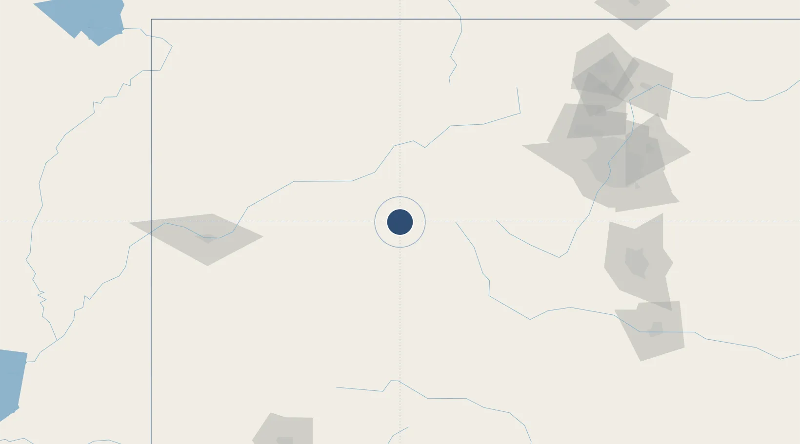
39.2232°, -106.8690°
8,006 ft
Longest runway
1
Runways
7,820 ft
Elevation

Runway & Layout

Aspen-Pitkin County Airport (Sardy Field) runway & taxiway layout
Runway & taxiway layout — OpenStreetMap (ODbL) / OurAirports

Radio Frequencies

ATIS
120.4 MHz
TWR
118.85 MHz
GND
121.9 MHz
CLD
123.75 MHz
CLNC DEL
CTAF
118.85 MHz
CNTR
123.8 MHz
APP/DEP
UNIC
122.95 MHz
UNICOM
OurAirports

Navaids

DBL VOR-DME Red Table 113.00 MHz
OurAirports

Runways · 1

RunwayDimensions SurfaceTrue headingLit
15/33 8,006 × 100ft Asphalt 160°
OurAirports

Airport Specifications

IATA code
ASE
OurAirports
ICAO code
KASE
OurAirports
Airport class
Medium airport
OurAirports
Scheduled service
Yes
OurAirports
Runway surface
Asphalt
OurAirports
Served city
Aspen
OurAirports

Location

Location of KASE
Natural Earth 10m (public domain) · Colorado · KASE · 39.22, -106.87GoogleOSMYandex

Nearby Logistics Neighbours

Airports
  1. 1Eagle County Regional Airport47 km
  2. 2Gunnison Crested Butte Regional Airport77 km
  3. 3Garfield County Regional Airport81 km
  4. 4Montrose Regional Airport119 km
  5. 5Yampa Valley Airport143 km
Nearest neighbours — logibook spatial index (haversine) over the source coordinates
Cities
  1. 1Snowmass Village7 km
  2. 2New Castle29 km
  3. 3Carbondale36 km
  4. 4Eagle48 km
  5. 5Gypsum48 km
Nearest neighbours — logibook spatial index (haversine) over the source coordinates
Ports
  1. 1Newport Beach1166 km
  2. 2San Diego1176 km
  3. 3Long Beach1178 km
  4. 4Los Angeles1184 km
  5. 5El Segundo1188 km
Nearest neighbours — logibook spatial index (haversine) over the source coordinates
Trade Zones
  1. 1FTZ No. 298 Jefferson County158 km
  2. 2FTZ No. 123 Denver171 km
  3. 3FTZ No. 112 Colorado Springs182 km
  4. 4FTZ No. 293 Limon274 km
  5. 5FTZ No. 110 Albuquerque461 km
Nearest neighbours — logibook spatial index (haversine) over the source coordinates
DatabookThe Record of Consolidated Knowledge
United States beyond logistics?
Browse databook

All Sources

AirportsOurAirports
Public domain
Portsthe NGA World Port Index
Public domain (US gov)
LocationsUN/LOCODE
UN/LOCODE — free
Trade Zonesthe World Bank SEZ database
CC BY 4.0
Trade ZonesOpen Zone Map
CC BY
InfrastructureOpenStreetMap
ODbL 1.0
← United States airports