Medium airport · United States

Rocky Mountain Metropolitan AirportKBJC

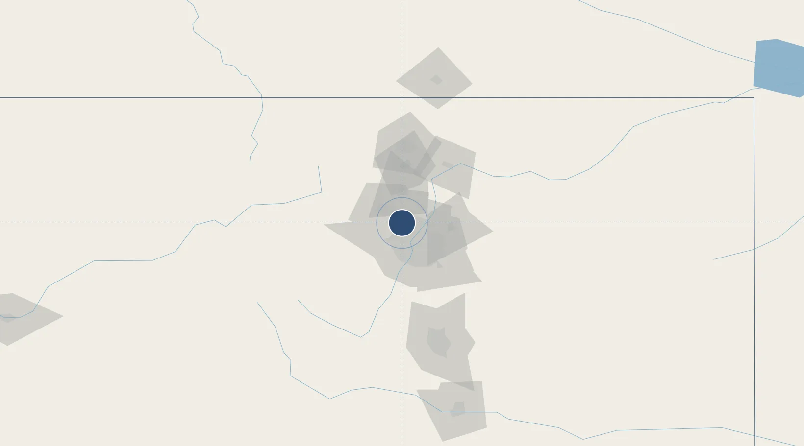
39.9088°, -105.1170°
9,000 ft
Longest runway
3
Runways
5,673 ft
Elevation

Runway & Layout

Rocky Mountain Metropolitan Airport runway & taxiway layout
Runway & taxiway layout — OpenStreetMap (ODbL) / OurAirports

Radio Frequencies

ATIS
126.25 MHz
TWR
118.6 MHz
GND
121.7 MHz
CTAF
118.6 MHz
A/D
126.1 MHz
DENVER APP/DEP
OurAirports

Runways · 3

RunwayDimensions SurfaceTrue headingLit
12L/30R 9,000 × 100ft Asphalt 124°
12R/30L 7,002 × 75ft Asphalt 124°
03/21 3,600 × 75ft Asphalt 034°
OurAirports

Airport Specifications

IATA code
BJC
OurAirports
ICAO code
KBJC
OurAirports
Airport class
Medium airport
OurAirports
Scheduled service
Yes
OurAirports
Runway surface
Asphalt
OurAirports
Served city
Denver
OurAirports

Location

Location of KBJC
Natural Earth 10m (public domain) · Colorado · KBJC · 39.91, -105.12GoogleOSMYandex

Nearby Logistics Neighbours

Airports
  1. 1Denver International Airport38 km
  2. 2Buckley Space Force Base39 km
  3. 3Centennial Airport44 km
  4. 4Northern Colorado Regional Airport61 km
  5. 5City of Colorado Springs Municipal Airport128 km
Nearest neighbours — logibook spatial index (haversine) over the source coordinates
Cities
  1. 1Lafayette9 km
  2. 2Arvada12 km
  3. 3Thornton14 km
  4. 4Erie17 km
  5. 5Irondale22 km
Nearest neighbours — logibook spatial index (haversine) over the source coordinates
Ports
  1. 1Duluth1297 km
  2. 2Superior1297 km
  3. 3Newport Beach1335 km
  4. 4San Diego1343 km
  5. 5Rosarito1362 km
Nearest neighbours — logibook spatial index (haversine) over the source coordinates
Trade Zones
  1. 1FTZ No. 298 Jefferson County19 km
  2. 2FTZ No. 123 Denver22 km
  3. 3FTZ No. 112 Colorado Springs122 km
  4. 4FTZ No. 293 Limon142 km
  5. 5FTZ No. 110 Albuquerque557 km
Nearest neighbours — logibook spatial index (haversine) over the source coordinates
DatabookThe Record of Consolidated Knowledge
United States beyond logistics?
Browse databook

All Sources

AirportsOurAirports
Public domain
Portsthe NGA World Port Index
Public domain (US gov)
LocationsUN/LOCODE
UN/LOCODE — free
Trade Zonesthe World Bank SEZ database
CC BY 4.0
Trade ZonesOpen Zone Map
CC BY
InfrastructureOpenStreetMap
ODbL 1.0
← United States airports