Transport Functions
Port
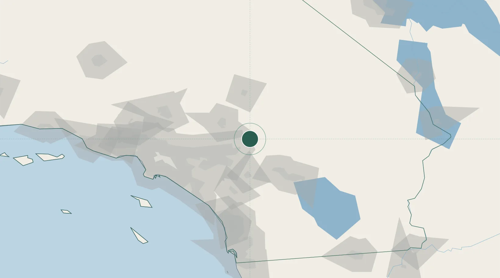
Hub Profile
Place type
Populated place
Region
California
Time zone
America/Los_Angeles
Elevation
2,081 m
Location
Nearby Logistics Neighbours
Cities
- 1Lake Arrowhead23 km
- 2Loma Linda38 km
- 3Grand Terrace43 km
- 4Bloomington48 km
- 5Moreno Valley50 km
Ports
- 1Newport Beach115 km
- 2Long Beach128 km
- 3Los Angeles134 km
- 4El Segundo144 km
- 5Avalon164 km
Airports
Trade Zones
- 1FTZ No. 244 Riverside County51 km
- 2FTZ No. 243 Victorville54 km
- 3FTZ No. 236 Palm Springs63 km
- 4FTZ No. 191 Palmdale114 km
- 5FTZ No. 050 Long Beach122 km
DatabookThe Record of Consolidated Knowledge
United States beyond logistics?