UN/LOCODE hub · United States
USRSZ
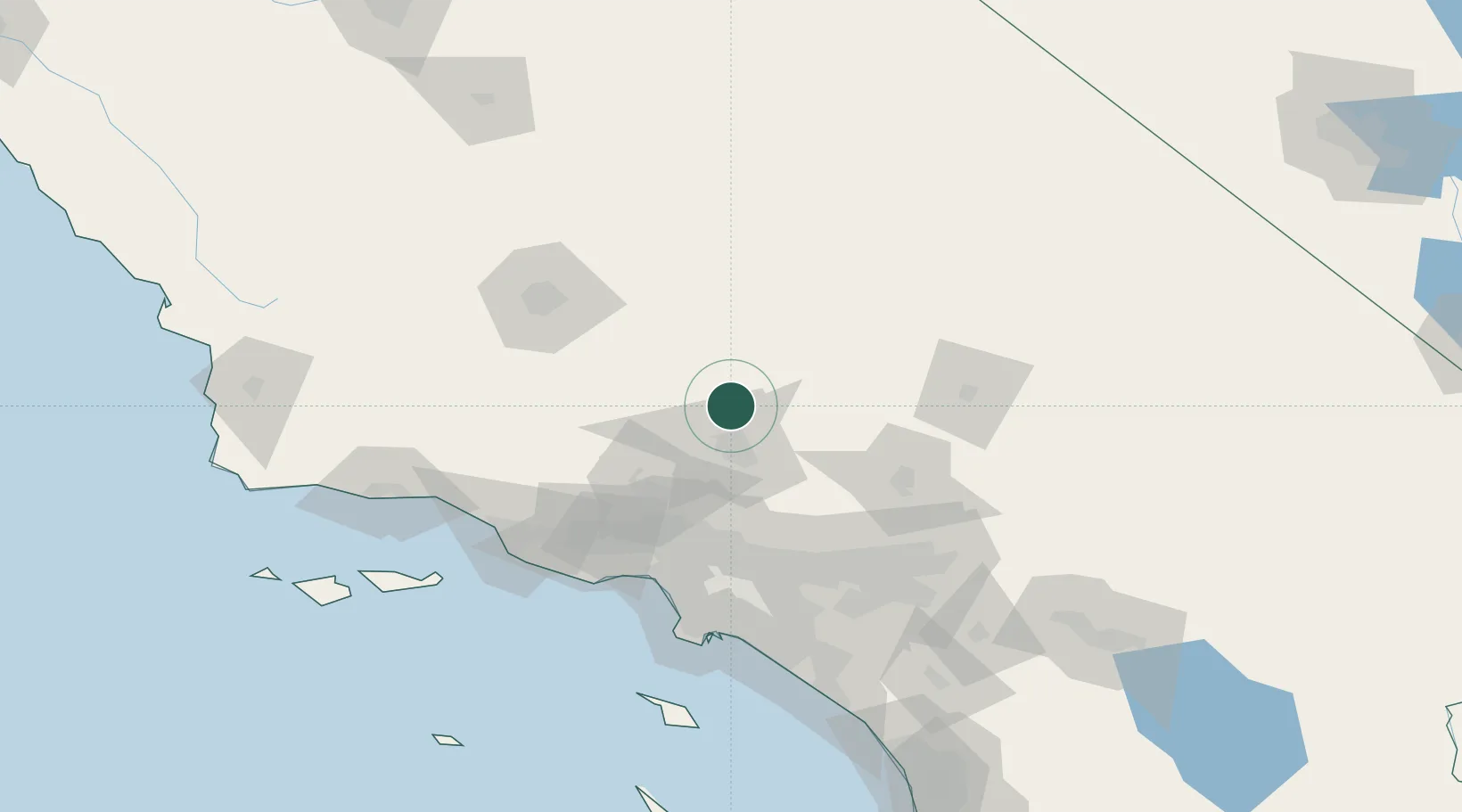
Rosamond
34.8500°, -118.1500°
18,150
Population
2
Transport functions
Transport Functions
Road
Multimodal
Hub Profile
Place type
Populated place
Region
California
Population
18,150
Time zone
America/Los_Angeles
Elevation
714 m
Location
Nearby Logistics Neighbours
Cities
- 1Palmdale34 km
- 2Alpine, Los Angeles36 km
- 3Littlerock41 km
- 4Boron46 km
- 5Llano49 km
Ports
- 1El Segundo107 km
- 2Long Beach121 km
- 3Ventura121 km
- 4Los Angeles123 km
- 5Port Hueneme124 km
Airports
Trade Zones
- 1FTZ No. 191 Palmdale30 km
- 2FTZ No. 243 Victorville77 km
- 3FTZ No. 276 Kern County98 km
- 4FTZ No. 050 Long Beach116 km
- 5FTZ No. 205 Port Hueneme124 km
DatabookThe Record of Consolidated Knowledge
United States beyond logistics?