Medium airport · United States
Palmdale Regional Airport / USAF Plant 42 AirportKPMD
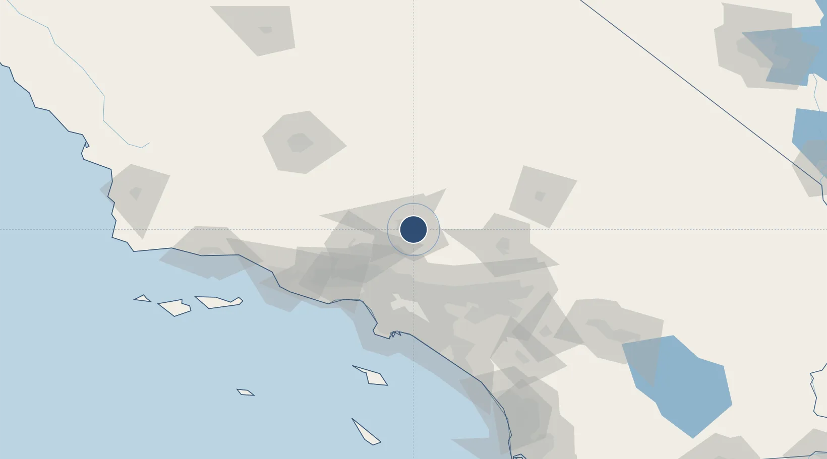
34.6294°, -118.0850°
12,002 ft
Longest runway
3
Runways
2,543 ft
Elevation
Runway & Layout

Radio Frequencies
ASOS
118.275 MHz
TWR
123.7 MHz
GND
121.9 MHz
CTAF
123.7 MHz
A/D
124.55 MHz
JOSHUA APP/DEP
Navaids
PMD VORTAC Palmdale 114.50 MHz
Runways · 3
| Runway | Dimensions | Surface | True heading | Lit |
|---|---|---|---|---|
| 07/25 | 12,002 × 200ft | Concrete | 086° | ✓ |
| 04/22 | 12,001 × 150ft | Concrete | 052° | ✓ |
| 072/252 | 6,000 × 75ft | CONC-E | — | — |
Airport Specifications
IATA code
PMD
ICAO code
KPMD
Airport class
Medium airport
Scheduled service
No
Runway surface
Concrete
Served city
Palmdale
Location
Nearby Logistics Neighbours
Airports
Cities
- 1Palmdale9 km
- 2Alpine, Los Angeles11 km
- 3Littlerock17 km
- 4Rosamond25 km
- 5Llano29 km
Ports
- 1El Segundo86 km
- 2Long Beach96 km
- 3Los Angeles99 km
- 4Newport Beach114 km
- 5Port Hueneme115 km
Trade Zones
- 1FTZ No. 191 Palmdale6 km
- 2FTZ No. 243 Victorville65 km
- 3FTZ No. 050 Long Beach91 km
- 4FTZ No. 202 Los Angeles101 km
- 5FTZ No. 244 Riverside County108 km
DatabookThe Record of Consolidated Knowledge
United States beyond logistics?