Medium airport · United States

General William J Fox AirfieldKWJF

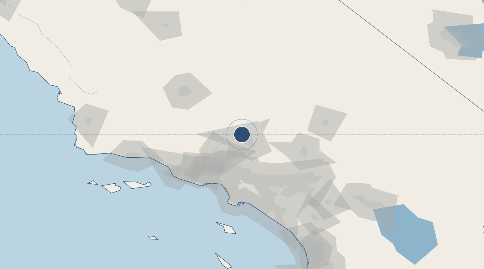
34.7411°, -118.2190°
7,201 ft
Longest runway
1
Runways
2,351 ft
Elevation

Runway & Layout

General William J Fox Airfield runway & taxiway layout
Runway & taxiway layout — OpenStreetMap (ODbL) / OurAirports

Radio Frequencies

ATIS
126.3 MHz
AWOS
133.875 MHz
AWOS 3
TWR
120.3 MHz
FOX TWR
GND
121.7 MHz
CTAF
120.3 MHz
A/D
126.1 MHz
JOSHUA APP/DEP
RDO
122.2 MHz
RIVERSIDE RDO
UNIC
122.95 MHz
UNICOM
OurAirports

Runways · 1

RunwayDimensions SurfaceTrue headingLit
06/24 7,201 × 150ft Asphalt 072°
OurAirports

Airport Specifications

IATA code
WJF
OurAirports
ICAO code
KWJF
OurAirports
Airport class
Medium airport
OurAirports
Scheduled service
No
OurAirports
Runway surface
Asphalt
OurAirports
Served city
Lancaster
OurAirports

Location

Location of KWJF
Natural Earth 10m (public domain) · California · KWJF · 34.74, -118.22GoogleOSMYandex

Nearby Logistics Neighbours

Airports
  1. 1Palmdale Regional Airport / USAF Plant 42 Airport17 km
  2. 2Mojave Air & Space Port36 km
  3. 3Edwards Air Force Base36 km
  4. 4California City Municipal Airport49 km
  5. 5Hollywood Burbank Airport61 km
Nearest neighbours — logibook spatial index (haversine) over the source coordinates
Cities
  1. 1Rosamond14 km
  2. 2Palmdale23 km
  3. 3Alpine, Los Angeles26 km
  4. 4Littlerock34 km
  5. 5Castaic45 km
Nearest neighbours — logibook spatial index (haversine) over the source coordinates
Ports
  1. 1El Segundo94 km
  2. 2Long Beach108 km
  3. 3Ventura110 km
  4. 4Los Angeles110 km
  5. 5Port Hueneme111 km
Nearest neighbours — logibook spatial index (haversine) over the source coordinates
Trade Zones
  1. 1FTZ No. 191 Palmdale20 km
  2. 2FTZ No. 243 Victorville79 km
  3. 3FTZ No. 276 Kern County101 km
  4. 4FTZ No. 050 Long Beach104 km
  5. 5FTZ No. 205 Port Hueneme111 km
Nearest neighbours — logibook spatial index (haversine) over the source coordinates
DatabookThe Record of Consolidated Knowledge
United States beyond logistics?
Browse databook

All Sources

AirportsOurAirports
Public domain
Portsthe NGA World Port Index
Public domain (US gov)
LocationsUN/LOCODE
UN/LOCODE — free
Trade Zonesthe World Bank SEZ database
CC BY 4.0
Trade ZonesOpen Zone Map
CC BY
InfrastructureOpenStreetMap
ODbL 1.0
← United States airports