Medium airport · United States

Mojave Air & Space PortKMHV

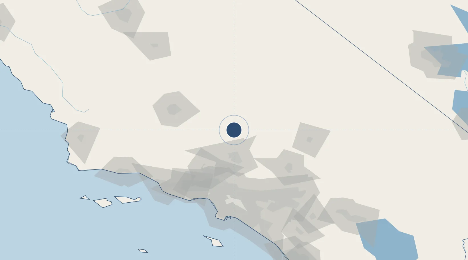
35.0564°, -118.1453°
12,503 ft
Longest runway
3
Runways
2,801 ft
Elevation

Runway & Layout

Mojave Air &  Space Port runway & taxiway layout
Runway & taxiway layout — OpenStreetMap (ODbL) / OurAirports

Radio Frequencies

TWR
127.6 MHz
GND
123.9 MHz
CTAF
127.6 MHz
A/D
133.65 MHz
JOSHUA APP/DEP
OurAirports

Runways · 3

RunwayDimensions SurfaceTrue headingLit
12/30 12,503 × 200ft Asphalt / concrete 135°
08/26 7,049 × 100ft Asphalt 090°
04/22 4,747 × 60ft Asphalt 052°
OurAirports

Airport Specifications

IATA code
MHV
OurAirports
ICAO code
KMHV
OurAirports
Airport class
Medium airport
OurAirports
Scheduled service
No
OurAirports
Runway surface
Asphalt / concrete
OurAirports
Served city
Mojave
OurAirports

Location

Location of KMHV
Natural Earth 10m (public domain) · California · KMHV · 35.06, -118.15GoogleOSMYandex

Nearby Logistics Neighbours

Airports
  1. 1California City Municipal Airport16 km
  2. 2Edwards Air Force Base29 km
  3. 3General William J Fox Airfield36 km
  4. 4Palmdale Regional Airport / USAF Plant 42 Airport48 km
  5. 5China Lake Naws (Armitage Field) Airport81 km
Nearest neighbours — logibook spatial index (haversine) over the source coordinates
Cities
  1. 1Rosamond23 km
  2. 2Boron41 km
  3. 3Palmdale56 km
  4. 4Alpine, Los Angeles58 km
  5. 5Littlerock62 km
Nearest neighbours — logibook spatial index (haversine) over the source coordinates
Ports
  1. 1El Segundo130 km
  2. 2Ventura135 km
  3. 3Port Hueneme140 km
  4. 4Long Beach144 km
  5. 5Los Angeles146 km
Nearest neighbours — logibook spatial index (haversine) over the source coordinates
Trade Zones
  1. 1FTZ No. 191 Palmdale53 km
  2. 2FTZ No. 276 Kern County86 km
  3. 3FTZ No. 243 Victorville88 km
  4. 4FTZ No. 050 Long Beach139 km
  5. 5FTZ No. 205 Port Hueneme140 km
Nearest neighbours — logibook spatial index (haversine) over the source coordinates
DatabookThe Record of Consolidated Knowledge
United States beyond logistics?
Browse databook

All Sources

AirportsOurAirports
Public domain
Portsthe NGA World Port Index
Public domain (US gov)
LocationsUN/LOCODE
UN/LOCODE — free
Trade Zonesthe World Bank SEZ database
CC BY 4.0
Trade ZonesOpen Zone Map
CC BY
InfrastructureOpenStreetMap
ODbL 1.0
← United States airports