UN/LOCODE hub · United States
USBJO

Boron

35.0337°, -117.7000°
2,253
Population
2
Transport functions

Transport Functions

Rail
Road
UN/LOCODE

Hub Profile

Place type
Populated place
GeoNames
Region
California
GeoNames
Population
2,253
GeoNames
Time zone
America/Los_Angeles
GeoNames
Elevation
752 m
GeoNames
Logistics facilities
2
UN/LOCODE

Location

Location of USBJO
Natural Earth 10m (public domain) · California · USBJO · 35.03, -117.70GoogleOSMYandex

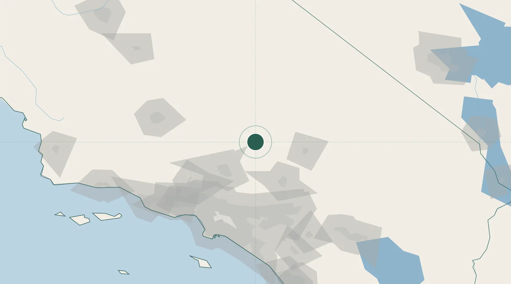
Nearby Logistics Neighbours

Cities
  1. 1Rosamond46 km
  2. 2Searles50 km
  3. 3Oro Grande59 km
  4. 4Llano60 km
  5. 5Littlerock62 km
Nearest neighbours — logibook spatial index (haversine) over the source coordinates
Ports
  1. 1El Segundo141 km
  2. 2Long Beach148 km
  3. 3Los Angeles151 km
  4. 4Newport Beach159 km
  5. 5Ventura167 km
Nearest neighbours — logibook spatial index (haversine) over the source coordinates
Airports
  1. 1Edwards Air Force Base22 km
  2. 2California City Municipal Airport32 km
  3. 3Mojave Air & Space Port41 km
  4. 4Palmdale Regional Airport / USAF Plant 42 Airport57 km
  5. 5General William J Fox Airfield57 km
Nearest neighbours — logibook spatial index (haversine) over the source coordinates
Trade Zones
  1. 1FTZ No. 243 Victorville58 km
  2. 2FTZ No. 191 Palmdale63 km
  3. 3FTZ No. 276 Kern County125 km
  4. 4FTZ No. 244 Riverside County130 km
  5. 5FTZ No. 050 Long Beach142 km
Nearest neighbours — logibook spatial index (haversine) over the source coordinates
DatabookThe Record of Consolidated Knowledge
United States beyond logistics?
Browse databook

All Sources

LocationsUN/LOCODE
UN/LOCODE — free
LocationsGeoNames
CC BY 4.0
Portsthe NGA World Port Index
Public domain (US gov)
AirportsOurAirports
Public domain
Trade Zonesthe World Bank SEZ database
CC BY 4.0
Trade ZonesOpen Zone Map
CC BY
← United States locations