Channel & Berth Profile
Pilotage, Tugs & Services
Pilotage compulsoryYES
Shore powerNO
Potable waterYES
Diesel bunkersYES
Facilities & Capabilities
Container—
Ro-Ro—
Liquid bulk—
Dry bulk—
Oil terminal—
Break bulk—
Dry dock—
Repairs—
Bunkering—
Rail link—
Dangerous cargo—
ISPS security—
Harbour Specifications
Harbour size
Very Small
Harbour type
Open Roadstead
Shelter
Poor
Water body
North Pacific Ocean
Tidal range
1.2 m
Pilotage
Yes
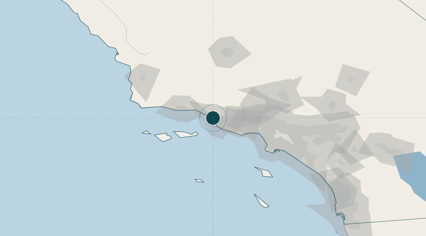
Location
Nearby Logistics Neighbours
Ports
- 1Port Hueneme17 km
- 2Carpinteria24 km
- 3Santa Barbara40 km
- 4Ellwood61 km
- 5El Segundo88 km
Cities
- 1Port Hueneme17 km
- 2Ojai19 km
- 3Summerland33 km
- 4Fillmore36 km
- 5Goleta53 km
Airports
Trade Zones
- 1FTZ No. 205 Port Hueneme17 km
- 2FTZ No. 202 Los Angeles110 km
- 3FTZ No. 191 Palmdale112 km
- 4FTZ No. 050 Long Beach118 km
- 5FTZ No. 276 Kern County124 km
DatabookThe Record of Consolidated Knowledge
United States beyond logistics?