UN/LOCODE hub · United States
USQPL
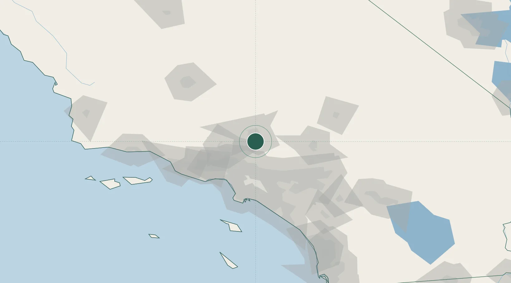
Palmdale
34.5500°, -118.1167°
158,351
Population
3
Transport functions
Transport Functions
Rail
Road
Multimodal
Hub Profile
Place type
Populated place
Region
California
Population
158,351
Time zone
America/Los_Angeles
Elevation
810 m
Location
Nearby Logistics Neighbours
Cities
- 1Alpine, Los Angeles2 km
- 2Littlerock14 km
- 3Llano28 km
- 4Rosamond34 km
- 5Saugus41 km
Ports
- 1El Segundo76 km
- 2Long Beach87 km
- 3Los Angeles90 km
- 4Newport Beach106 km
- 5Port Hueneme109 km
Airports
Trade Zones
- 1FTZ No. 191 Palmdale3 km
- 2FTZ No. 243 Victorville68 km
- 3FTZ No. 050 Long Beach82 km
- 4FTZ No. 202 Los Angeles91 km
- 5FTZ No. 244 Riverside County104 km
DatabookThe Record of Consolidated Knowledge
United States beyond logistics?