UN/LOCODE hub · United States
USYLR
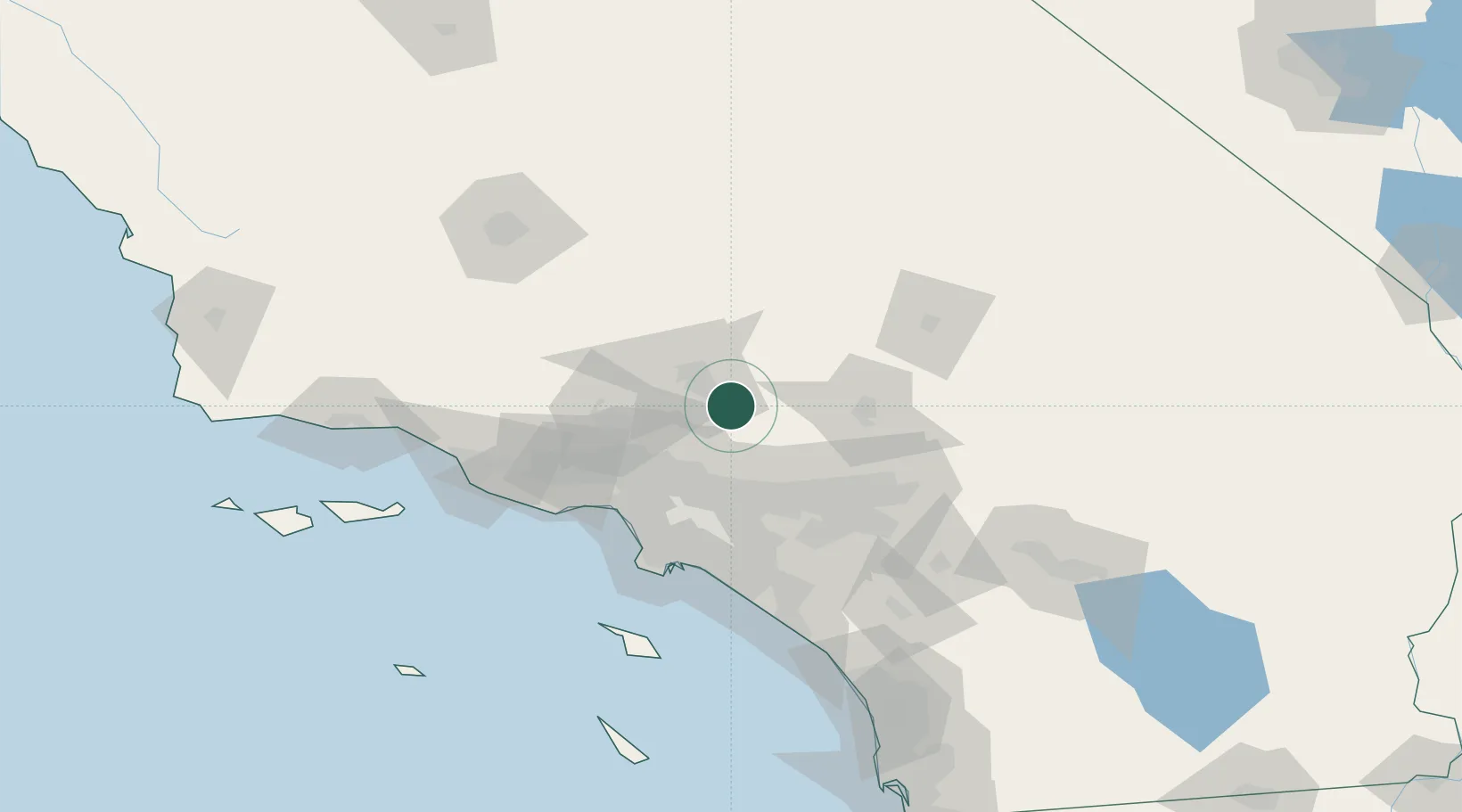
Littlerock
34.5167°, -117.9667°
1,377
Population
3
Transport functions
Transport Functions
Port
Road
Multimodal
Hub Profile
Place type
Populated place
Region
California
Population
1,377
Time zone
America/Los_Angeles
Elevation
881 m
Location
Nearby Logistics Neighbours
Cities
- 1Alpine, Los Angeles12 km
- 2Llano14 km
- 3Palmdale14 km
- 4Rosamond41 km
- 5Ladera Ranch43 km
Ports
- 1El Segundo79 km
- 2Long Beach86 km
- 3Los Angeles89 km
- 4Newport Beach100 km
- 5Port Hueneme120 km
Airports
Trade Zones
- 1FTZ No. 191 Palmdale15 km
- 2FTZ No. 243 Victorville55 km
- 3FTZ No. 050 Long Beach80 km
- 4FTZ No. 202 Los Angeles91 km
- 5FTZ No. 244 Riverside County92 km
DatabookThe Record of Consolidated Knowledge
United States beyond logistics?