Transport Functions
Port
Multimodal
Hub Profile
Place type
Populated place
Region
California
Time zone
America/Los_Angeles
Elevation
976 m
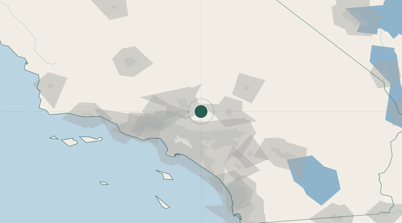
Location
Nearby Logistics Neighbours
Cities
- 1Littlerock14 km
- 2Alpine, Los Angeles26 km
- 3Palmdale28 km
- 4Ladera Ranch33 km
- 5Oro Grande46 km
Ports
- 1El Segundo86 km
- 2Long Beach88 km
- 3Los Angeles92 km
- 4Newport Beach99 km
- 5Port Hueneme133 km
Airports
Trade Zones
- 1FTZ No. 191 Palmdale29 km
- 2FTZ No. 243 Victorville42 km
- 3FTZ No. 244 Riverside County82 km
- 4FTZ No. 050 Long Beach82 km
- 5FTZ No. 202 Los Angeles95 km
DatabookThe Record of Consolidated Knowledge
United States beyond logistics?