Transport Functions
Rail
Road
Multimodal
Hub Profile
Region
CA
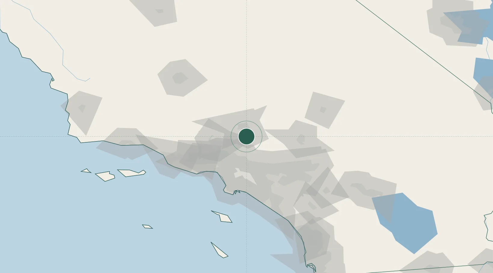
Location
Nearby Logistics Neighbours
Cities
- 1Palmdale2 km
- 2Littlerock12 km
- 3Llano26 km
- 4Rosamond36 km
- 5Saugus42 km
Ports
- 1El Segundo75 km
- 2Long Beach86 km
- 3Los Angeles88 km
- 4Newport Beach104 km
- 5Port Hueneme110 km
Airports
Trade Zones
- 1FTZ No. 191 Palmdale5 km
- 2FTZ No. 243 Victorville67 km
- 3FTZ No. 050 Long Beach80 km
- 4FTZ No. 202 Los Angeles90 km
- 5FTZ No. 244 Riverside County102 km
DatabookThe Record of Consolidated Knowledge
United States beyond logistics?