Medium airport · United States
Edwards Air Force BaseKEDW
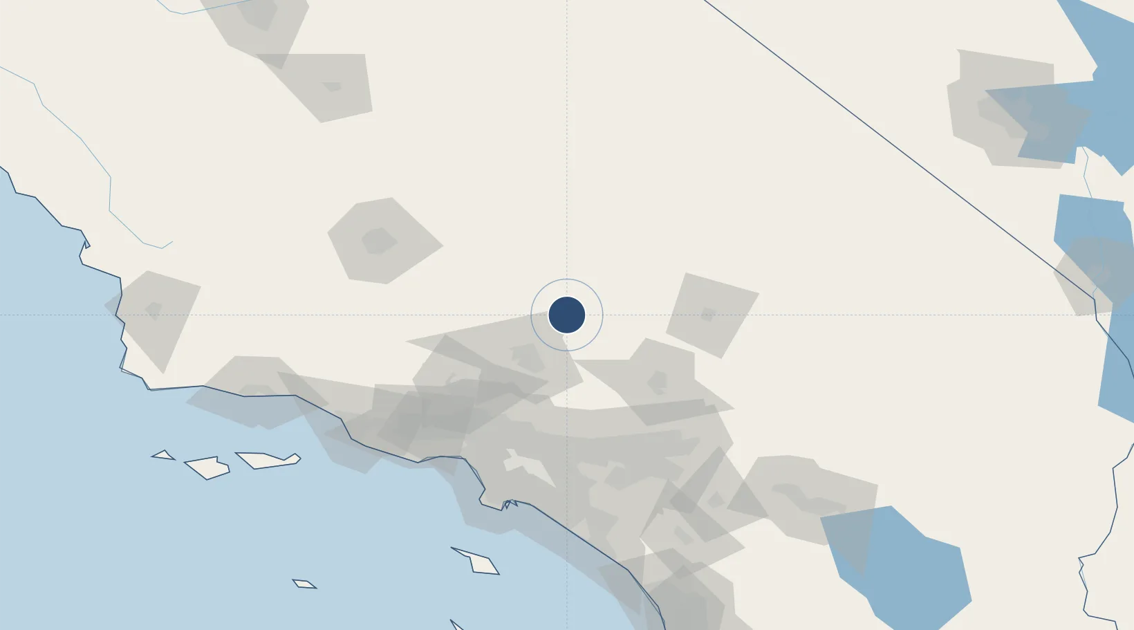
34.9108°, -117.8864°
15,024 ft
Longest runway
3
Runways
2,312 ft
Elevation
Runway & Layout

Radio Frequencies
ATIS
26.99 MHz
TWR
120.7 MHz
GND
121.8 MHz
A/D
132.75 MHz
SPORT APP/DEP
MISC
135.825 MHz
NASA FLT OPS
PMSV
34.24 MHz
PMSV METRO
POST
30.4 MHz
COMD POST
PTD
37.22 MHz
Navaids
EDW VORTAC Edwards 116.40 MHz
Runways · 3
| Runway | Dimensions | Surface | True heading | Lit |
|---|---|---|---|---|
| 05R/23L | 15,024 × 300ft | CONC | 058° | ✓ |
| 05L/23R | 12,000 × 200ft | ASPH | — | — |
| 07/25 | 8,000 × 50ft | Concrete | 077° | — |
Airport Specifications
IATA code
EDW
ICAO code
KEDW
Airport class
Medium airport
Scheduled service
No
Runway surface
CONC
Served city
Edwards
Location
Nearby Logistics Neighbours
Airports
Cities
- 1Boron22 km
- 2Rosamond25 km
- 3Littlerock44 km
- 4Palmdale45 km
- 5Llano46 km
Ports
- 1El Segundo121 km
- 2Long Beach130 km
- 3Los Angeles133 km
- 4Newport Beach144 km
- 5Ventura146 km
Trade Zones
- 1FTZ No. 191 Palmdale43 km
- 2FTZ No. 243 Victorville59 km
- 3FTZ No. 276 Kern County115 km
- 4FTZ No. 244 Riverside County124 km
- 5FTZ No. 050 Long Beach124 km
DatabookThe Record of Consolidated Knowledge
United States beyond logistics?