Seaport · United States
Port HuenemeUSNTD
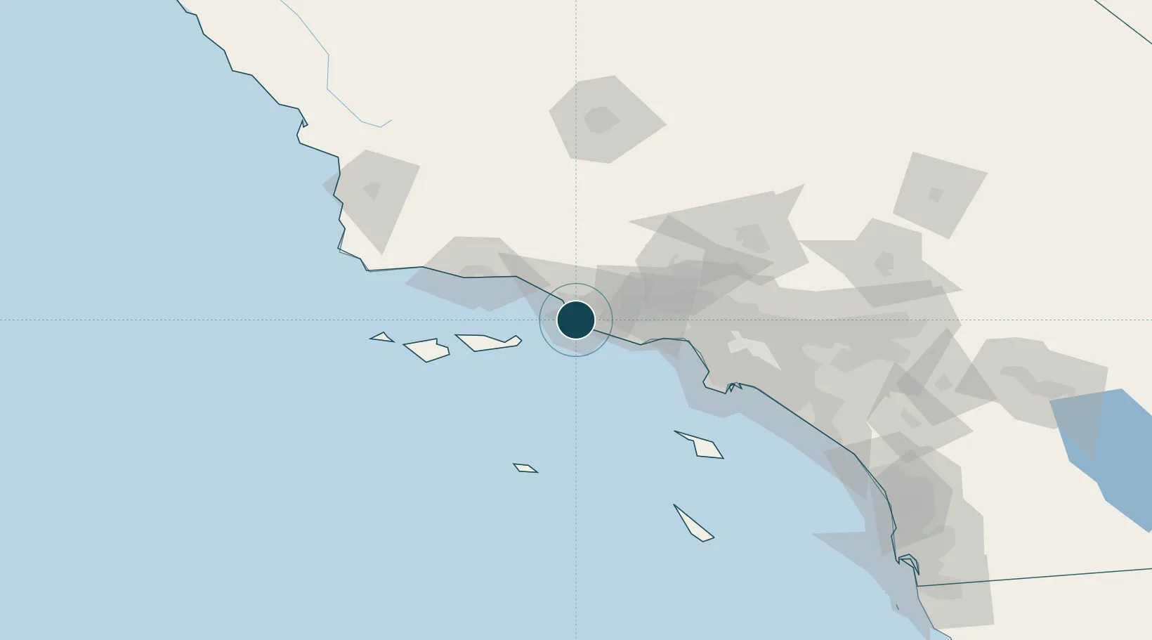
34.1500°, -119.2000°
9.4 m
Channel depth
1
Container terminals
38.6
Port liner connectivity
Channel & Berth Profile
Pilotage, Tugs & Services
Pilotage compulsoryYES
Pilotage advisableYES
Tug assistanceYES
Shore powerYES
Potable waterYES
Diesel bunkersYES
MedicalYES
Garbage disposalNO
Facilities & Capabilities
Container—
Ro-Ro—
Liquid bulk—
Dry bulk—
Oil terminal—
Break bulk—
Dry dock—
RepairsNO
BunkeringYES
Rail linkYES
Dangerous cargo—
ISPS security—
Harbour Specifications
Harbour size
Very Small
Harbour type
Coastal (Breakwater)
Shelter
Excellent
Water body
North Pacific Ocean
Tidal range
1.2 m
Pilotage
Yes
Liner Connectivity
38.6
PLSCI
Port Liner Shipping Connectivity Index for Port Hueneme, as published by UNCTAD for the latest available quarter. Higher values indicate stronger scheduled liner-shipping integration.
Shown relative to the highest per-port PLSCI in the dataset (1,657.9).
Location
Container Terminals · 1
PORT HUENEME
HUE
Nearby Logistics Neighbours
Ports
- 1Ventura17 km
- 2Carpinteria39 km
- 3Santa Barbara53 km
- 4Ellwood73 km
- 5El Segundo75 km
Cities
- 1Ventura13 km
- 2Ojai34 km
- 3Fillmore37 km
- 4Summerland47 km
- 5Valencia64 km
Airports
Trade Zones
- 1FTZ No. 205 Port Hueneme0 km
- 2FTZ No. 202 Los Angeles96 km
- 3FTZ No. 050 Long Beach105 km
- 4FTZ No. 191 Palmdale110 km
- 5FTZ No. 276 Kern County137 km
DatabookThe Record of Consolidated Knowledge
United States beyond logistics?