Medium airport · United States

California City Municipal AirportKL71

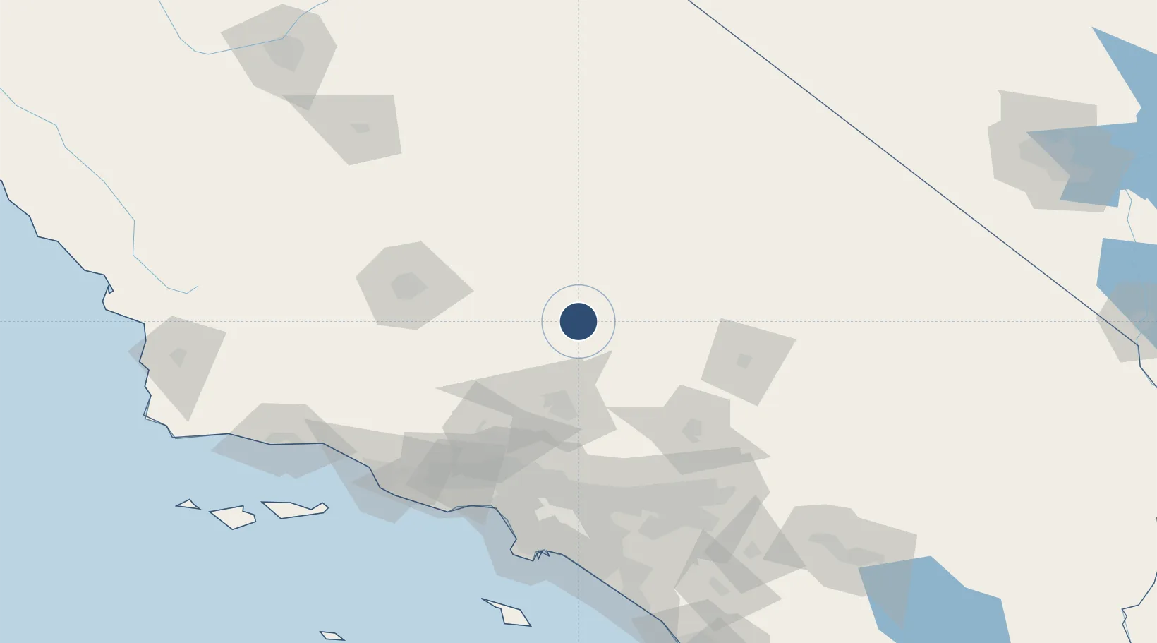
35.1514°, -118.0161°
6,027 ft
Longest runway
1
Runways
2,454 ft
Elevation

Runway & Layout

California City Municipal Airport runway & taxiway layout
Runway & taxiway layout — OpenStreetMap (ODbL) / OurAirports

Radio Frequencies

AWOS
120.875 MHz
AWOS 1
A/D
133.65 MHz
JOSHUA APP/DEP
UNIC
122.7 MHz
CTAF/UNICOM
OurAirports

Runways · 1

RunwayDimensions SurfaceTrue headingLit
06/24 6,027 × 60ft Asphalt 076°
OurAirports

Airport Specifications

ICAO code
KL71
OurAirports
Airport class
Medium airport
OurAirports
Scheduled service
No
OurAirports
Runway surface
Asphalt
OurAirports
Served city
California City
OurAirports

Location

Location of KL71
Natural Earth 10m (public domain) · California · KL71 · 35.15, -118.02GoogleOSMYandex

Nearby Logistics Neighbours

Airports
  1. 1Mojave Air & Space Port16 km
  2. 2Edwards Air Force Base29 km
  3. 3General William J Fox Airfield49 km
  4. 4Palmdale Regional Airport / USAF Plant 42 Airport58 km
  5. 5China Lake Naws (Armitage Field) Airport66 km
Nearest neighbours — logibook spatial index (haversine) over the source coordinates
Cities
  1. 1Boron32 km
  2. 2Rosamond36 km
  3. 3Searles51 km
  4. 4Palmdale68 km
  5. 5Alpine, Los Angeles69 km
Nearest neighbours — logibook spatial index (haversine) over the source coordinates
Ports
  1. 1El Segundo143 km
  2. 2Ventura151 km
  3. 3Long Beach155 km
  4. 4Port Hueneme155 km
  5. 5Los Angeles157 km
Nearest neighbours — logibook spatial index (haversine) over the source coordinates
Trade Zones
  1. 1FTZ No. 191 Palmdale64 km
  2. 2FTZ No. 243 Victorville86 km
  3. 3FTZ No. 276 Kern County94 km
  4. 4FTZ No. 050 Long Beach150 km
  5. 5FTZ No. 244 Riverside County153 km
Nearest neighbours — logibook spatial index (haversine) over the source coordinates
DatabookThe Record of Consolidated Knowledge
United States beyond logistics?
Browse databook

All Sources

AirportsOurAirports
Public domain
Portsthe NGA World Port Index
Public domain (US gov)
LocationsUN/LOCODE
UN/LOCODE — free
Trade Zonesthe World Bank SEZ database
CC BY 4.0
Trade ZonesOpen Zone Map
CC BY
InfrastructureOpenStreetMap
ODbL 1.0
← United States airports