Transport Functions
Road
Multimodal
Hub Profile
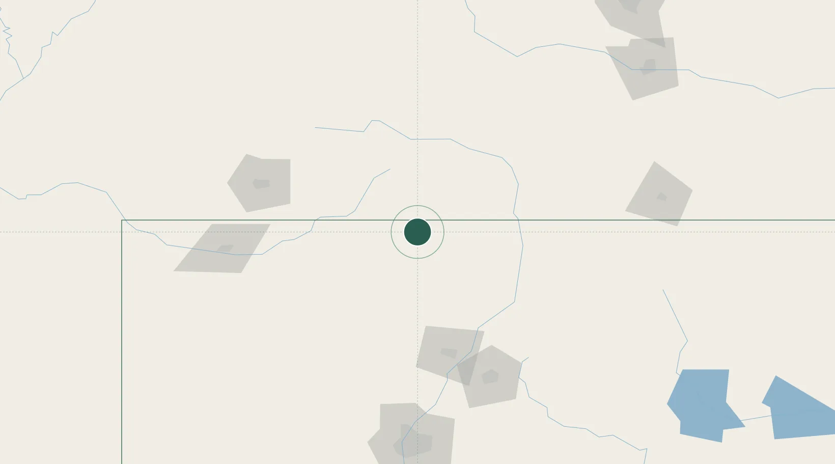
Place type
Populated place
Region
New Mexico
Population
1,004
Time zone
America/Denver
Elevation
2,399 m
Location
Nearby Logistics Neighbours
Cities
- 1Monte Vista85 km
- 2Del Norte88 km
- 3San Acacio96 km
- 4Alcade102 km
- 5Center103 km
Ports
- 1San Diego1074 km
- 2Guaymas1079 km
- 3Ensenada1079 km
- 4Rosarito1087 km
- 5Newport Beach1091 km
Airports
Trade Zones
- 1FTZ No. 110 Albuquerque203 km
- 2FTZ No. 112 Colorado Springs264 km
- 3FTZ No. 298 Jefferson County339 km
- 4FTZ No. 123 Denver345 km
- 5FTZ No. 293 Limon364 km
DatabookThe Record of Consolidated Knowledge
United States beyond logistics?