UN/LOCODE hub · United States
USDN2

Del Norte

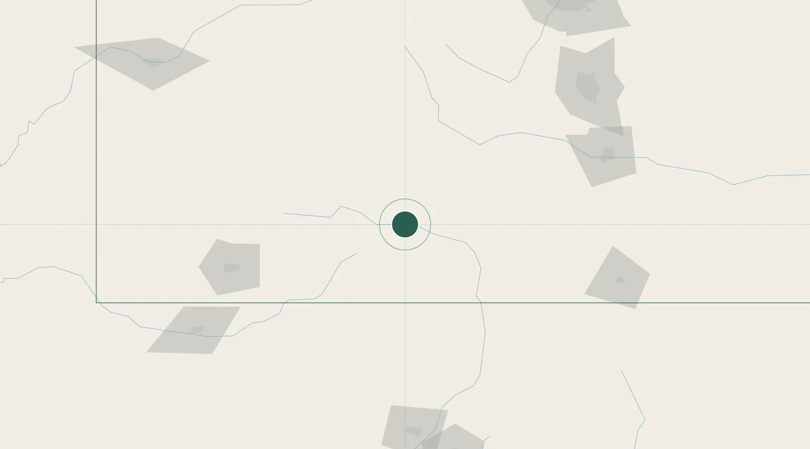
37.6788°, -106.3776°
1,604
Population
3
Transport functions

Transport Functions

Port
Rail
Road
UN/LOCODE

Hub Profile

Place type
Provincial seat
GeoNames
Region
Colorado
GeoNames
Population
1,604
GeoNames
Time zone
America/Denver
GeoNames
Elevation
2,403 m
GeoNames
Logistics facilities
1
UN/LOCODE

Location

Location of USDN2
Natural Earth 10m (public domain) · Colorado · USDN2 · 37.68, -106.38GoogleOSMYandex

Nearby Logistics Neighbours

Cities
  1. 1Monte Vista23 km
  2. 2Center26 km
  3. 3Blanca81 km
  4. 4Chama88 km
  5. 5San Acacio90 km
Nearest neighbours — logibook spatial index (haversine) over the source coordinates
Ports
  1. 1San Diego1125 km
  2. 2Newport Beach1134 km
  3. 3Ensenada1137 km
  4. 4Rosarito1140 km
  5. 5Guaymas1165 km
Nearest neighbours — logibook spatial index (haversine) over the source coordinates
Airports
  1. 1San Luis Valley Regional Airport/Bergman Field53 km
  2. 2Gunnison Crested Butte Regional Airport107 km
  3. 3Durango La Plata County Airport135 km
  4. 4Telluride Regional Airport138 km
  5. 5Taos Regional Airport150 km
Nearest neighbours — logibook spatial index (haversine) over the source coordinates
Trade Zones
  1. 1FTZ No. 112 Colorado Springs187 km
  2. 2FTZ No. 298 Jefferson County253 km
  3. 3FTZ No. 123 Denver259 km
  4. 4FTZ No. 110 Albuquerque291 km
  5. 5FTZ No. 293 Limon293 km
Nearest neighbours — logibook spatial index (haversine) over the source coordinates
DatabookThe Record of Consolidated Knowledge
United States beyond logistics?
Browse databook

All Sources

LocationsUN/LOCODE
UN/LOCODE — free
LocationsGeoNames
CC BY 4.0
Portsthe NGA World Port Index
Public domain (US gov)
AirportsOurAirports
Public domain
Trade Zonesthe World Bank SEZ database
CC BY 4.0
Trade ZonesOpen Zone Map
CC BY
← United States locations