Transport Functions
Road
Multimodal
Hub Profile
Region
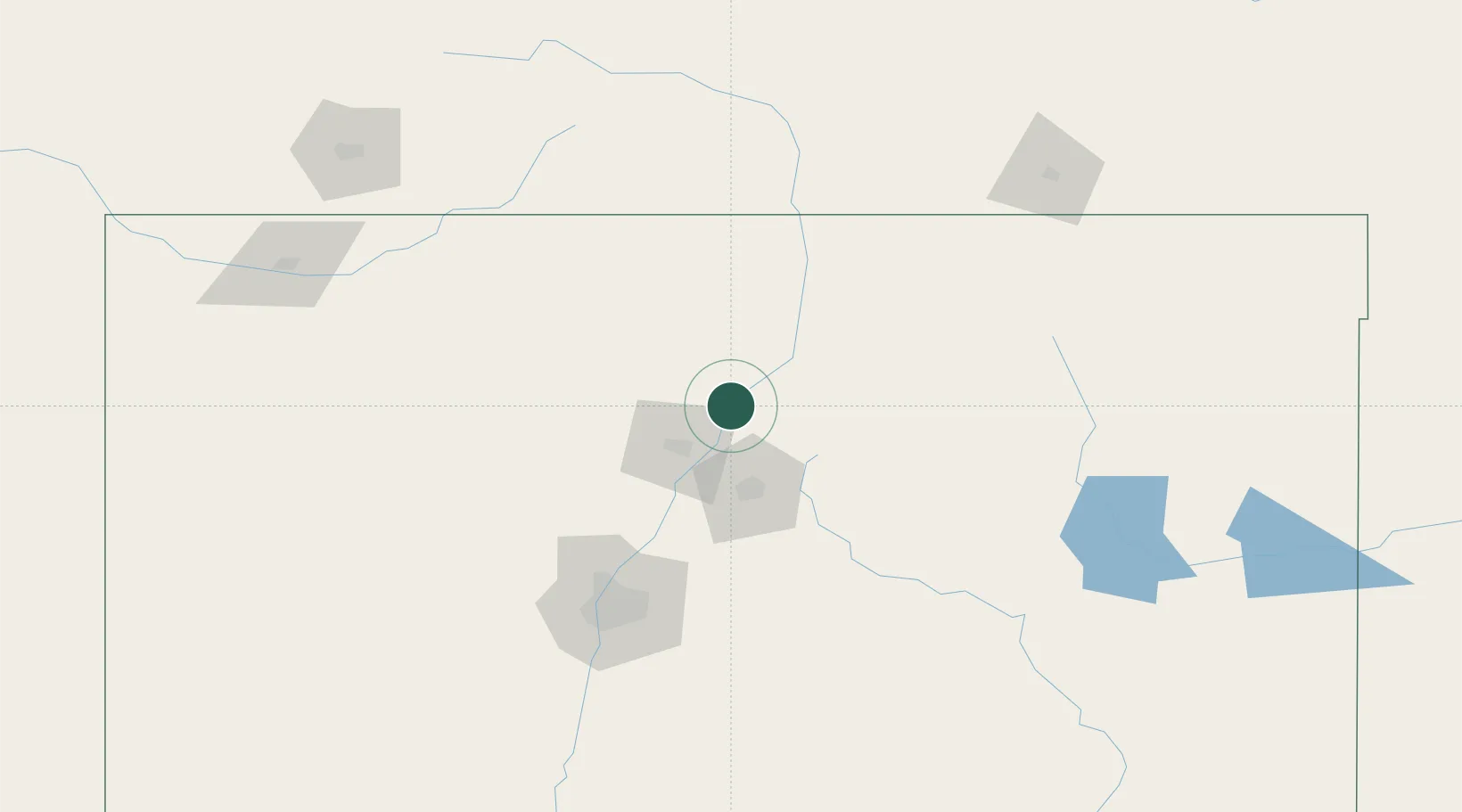
NM
Location
Nearby Logistics Neighbours
Cities
- 1San Juan Pueblo4 km
- 2Chimayo14 km
- 3Ranchos de Taos50 km
- 4Cuba81 km
- 5Bernalillo98 km
Ports
- 1Guaymas1017 km
- 2Ensenada1082 km
- 3San Diego1087 km
- 4Rosarito1096 km
- 5Newport Beach1115 km
Airports
Trade Zones
- 1FTZ No. 110 Albuquerque131 km
- 2FTZ No. 112 Colorado Springs324 km
- 3FTZ No. 252 Amarillo390 km
- 4FTZ No. 293 Limon410 km
- 5FTZ No. 298 Jefferson County414 km
DatabookThe Record of Consolidated Knowledge
United States beyond logistics?