UN/LOCODE hub · United States
USZSI
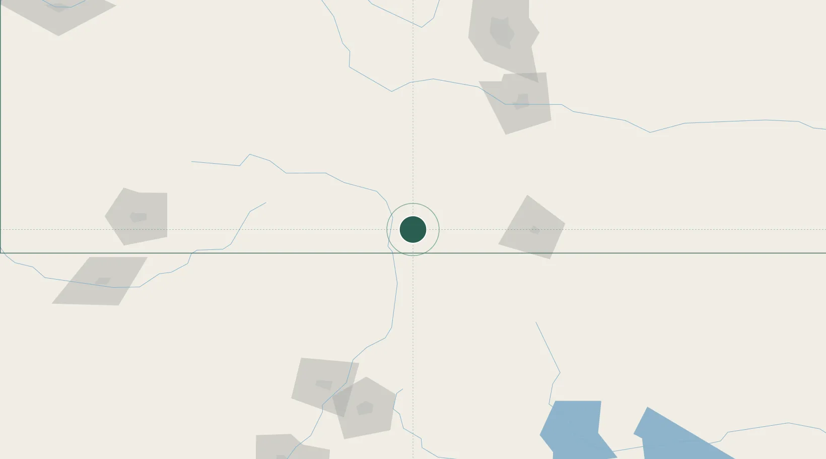
San Acacio
37.2000°, -105.5500°
40
Population
3
Transport functions
Transport Functions
Port
Road
Multimodal
Hub Profile
Place type
Populated place
Region
Colorado
Population
40
Time zone
America/Denver
Elevation
2,356 m
Location
Nearby Logistics Neighbours
Cities
- 1Blanca26 km
- 2Monte Vista68 km
- 3Center78 km
- 4Del Norte90 km
- 5Ranchos de Taos95 km
Ports
- 1Guaymas1148 km
- 2Deer Park1257 km
- 3Houston1261 km
- 4Santa Rosalia1266 km
- 5Port Lavaca1266 km
Airports
Trade Zones
- 1FTZ No. 112 Colorado Springs192 km
- 2FTZ No. 110 Albuquerque262 km
- 3FTZ No. 293 Limon281 km
- 4FTZ No. 298 Jefferson County285 km
- 5FTZ No. 123 Denver287 km
DatabookThe Record of Consolidated Knowledge
United States beyond logistics?