Medium airport · United States

Durango La Plata County AirportKDRO

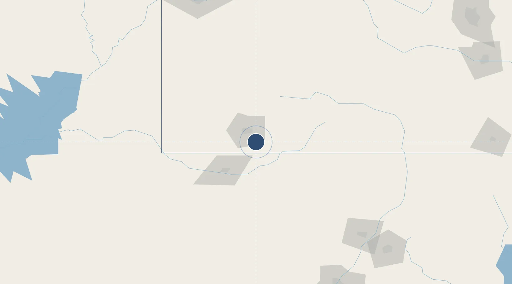
37.1515°, -107.7540°
9,201 ft
Longest runway
1
Runways
6,685 ft
Elevation

Runway & Layout

Durango La Plata County Airport runway & taxiway layout
Runway & taxiway layout — OpenStreetMap (ODbL) / OurAirports

Radio Frequencies

ASOS
120.625 MHz
CNTR
118.575 MHz
DENVER CNTR
RDO
122.35 MHz
DENVER RDO
UNIC
122.8 MHz
CTAF/UNICOM
OurAirports

Runways · 1

RunwayDimensions SurfaceTrue headingLit
03/21 9,201 × 150ft ASPH-G 037°
OurAirports

Airport Specifications

IATA code
DRO
OurAirports
ICAO code
KDRO
OurAirports
Airport class
Medium airport
OurAirports
Scheduled service
Yes
OurAirports
Runway surface
ASPH-G
OurAirports
Served city
Durango
OurAirports

Location

Location of KDRO
Natural Earth 10m (public domain) · Colorado · KDRO · 37.15, -107.75GoogleOSMYandex

Nearby Logistics Neighbours

Airports
  1. 1Four Corners Regional Airport62 km
  2. 2Cortez Municipal Airport79 km
  3. 3Telluride Regional Airport90 km
  4. 4Montrose Regional Airport152 km
  5. 5Gunnison Crested Butte Regional Airport170 km
Nearest neighbours — logibook spatial index (haversine) over the source coordinates
Cities
  1. 1Silverton73 km
  2. 2Dolores75 km
  3. 3Telluride87 km
  4. 4Ridgeway102 km
  5. 5Chama109 km
Nearest neighbours — logibook spatial index (haversine) over the source coordinates
Ports
  1. 1San Diego990 km
  2. 2Newport Beach1000 km
  3. 3Ensenada1003 km
  4. 4Rosarito1005 km
  5. 5Guaymas1069 km
Nearest neighbours — logibook spatial index (haversine) over the source coordinates
Trade Zones
  1. 1FTZ No. 110 Albuquerque245 km
  2. 2FTZ No. 112 Colorado Springs318 km
  3. 3FTZ No. 298 Jefferson County366 km
  4. 4FTZ No. 123 Denver375 km
  5. 5FTZ No. 293 Limon426 km
Nearest neighbours — logibook spatial index (haversine) over the source coordinates
DatabookThe Record of Consolidated Knowledge
United States beyond logistics?
Browse databook

All Sources

AirportsOurAirports
Public domain
Portsthe NGA World Port Index
Public domain (US gov)
LocationsUN/LOCODE
UN/LOCODE — free
Trade Zonesthe World Bank SEZ database
CC BY 4.0
Trade ZonesOpen Zone Map
CC BY
InfrastructureOpenStreetMap
ODbL 1.0
← United States airports